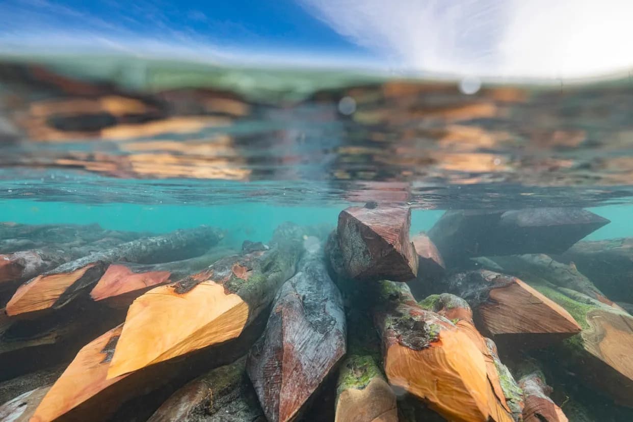
During the last ice age a drop of about 425 feet (130 m) exposed the Bering Land Bridge, enabling animal and possibly human movement between Asia and North America. Cold seabed conditions improve the odds that organic artifacts could survive underwater, but researchers face major obstacles: seasonal sea ice, strong currents, 10–50 ft (3–15 m) of sediment cover, and limited dive times at ~130 ft (40 m). Teams now rely on sonar and sediment cores to target likely sites, and although logistics and cost are significant, carefully planned surveys could yield discoveries that reshape our understanding of early migrations.
The Drowned Bering Land Bridge: Could Underwater Archaeology Reveal How People Reached the Americas?

The submerged gateway between continents
The Bering Strait today is a roughly 52-mile-wide (85 km) ribbon of ocean between Alaska and Siberia, with depths near 165 feet (50 m). During the coldest interval of the last ice age (about 26,500–19,000 years ago), global sea levels fell by roughly 425 feet (130 m), exposing a broad land corridor known as the Bering Land Bridge. That landscape allowed animals such as mammoths and horses to move between Asia and North America and may have played a role in human peopling of the Americas.
Why the submerged land matters
Remains from the former land bridge could transform our understanding of early migrations. A 2022 study suggested parts of the bridge interior may have been blocked by ice when people first arrived, raising the possibility that early migrants traveled along the coast by boat or on foot rather than crossing the plain. Finding archaeological sites on the seafloor could clarify routes, dates and lifeways of those first visitors.
Exceptional preservation potential
Cold, low-microbial waters increase the chances that organic materials could survive after millennia underwater. Jessi Halligan, an underwater archaeologist at Texas A&M University, notes that animal bones, clothing fragments, structural timbers, charcoal and other organics are more likely to be preserved in the Bering Strait than in warmer, oxygen-rich environments. In some settings, deposits may be close to pristine.
Formidable practical challenges
Bringing such sites to light is far from straightforward. Morgan Smith, director of the Geoarchaeology and Submerged Landscapes Lab at the University of Tennessee, Chattanooga, calls the region a place that can become "super-unmanageable super-fast." Seasonal sea ice blocks access for much of the year, and harsh weather — the same rough seas featured by the TV series The Deadliest Catch — can appear with little warning. Strong currents and rapidly changing conditions further complicate field work.
Underwater survey and excavation face additional physical limits. Safe human diving is normally limited to about 130 feet (40 m), and dives at that depth are short, so divers cannot efficiently search large areas. Since the end of the last ice age, roughly 10 to 50 feet (3–15 m) of sediment may have accumulated on the former land surface, burying archaeological traces under thick deposits. That makes visual discovery nearly impossible in many places and turns the task into a "needle-in-a-haystack" problem.
How researchers search the seafloor
Teams use remote sensing first. Side-scan and sub-bottom sonar maps reveal seafloor topography and buried features, helping researchers target where to take sediment cores or send divers and remotely operated vehicles (ROVs). Cores – narrow tubes driven vertically into sediments – are the underwater analogue of shovel test pits on land and can recover pollen, insect remains, charcoal and tiny cultural traces. However, cores are typically only about 10 cm (4 in) wide, and extracting many from a vast shelf is time-consuming and expensive.
Some reconnaissance work has been completed with funding from agencies such as NOAA and Parks Canada. Oil and gas companies have likely collected remote-sensing data across parts of the shelf, but such corporate data are often not publicly available to archaeologists.
Costs and logistics
Large research vessels are required for extended surveys and coring. Morgan Smith estimates charter costs of roughly $8,000 to $15,000 per day (not including fuel), with bookings often required a year in advance. Given unpredictable weather windows, expeditions must balance scheduling, budget and luck.
What might be found?
Where preserved sites exist, they could yield artifacts, organic remains and environmental evidence that illuminate migration routes, technology and diet. Even microfossils such as pollen and insects recovered from cores can reconstruct past landscapes and climate. Halligan emphasizes that, because so few terminal glacial sites are known in the region, any well-documented find could substantially change interpretations of early human presence in North America.
Conclusion
Studying the submerged Bering Land Bridge is technically and financially demanding but scientifically promising. With targeted remote sensing, strategic coring, and collaborations to unlock existing survey data, researchers can prioritize areas with the best preservation potential. While comprehensive exploration of the entire shelf is unlikely in the near term, focused campaigns have a realistic chance of producing groundbreaking discoveries.
Key takeaway: The Bering seafloor probably contains well-preserved archaeological and environmental records, but accessing them requires sonar-guided targeting, costly vessels, and patient, well-funded field programs.
Help us improve.


