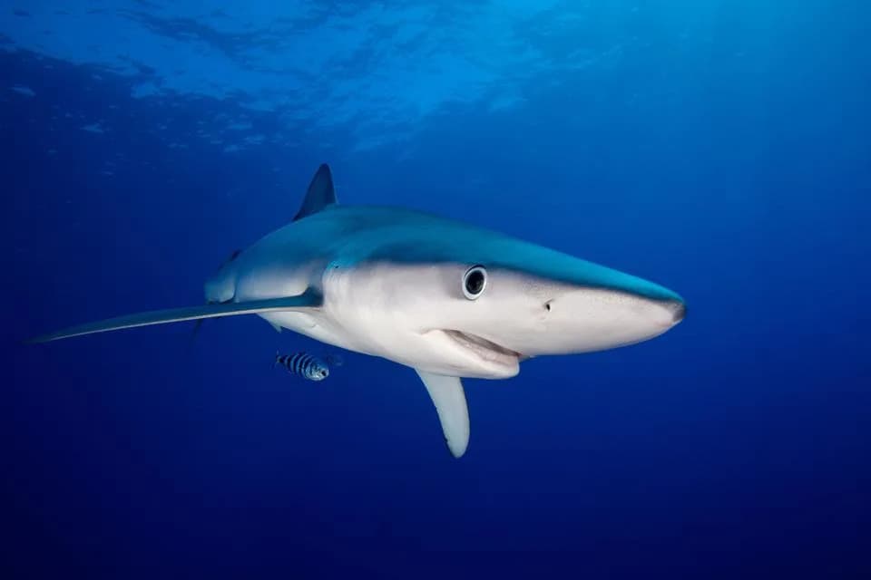
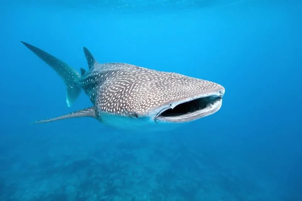
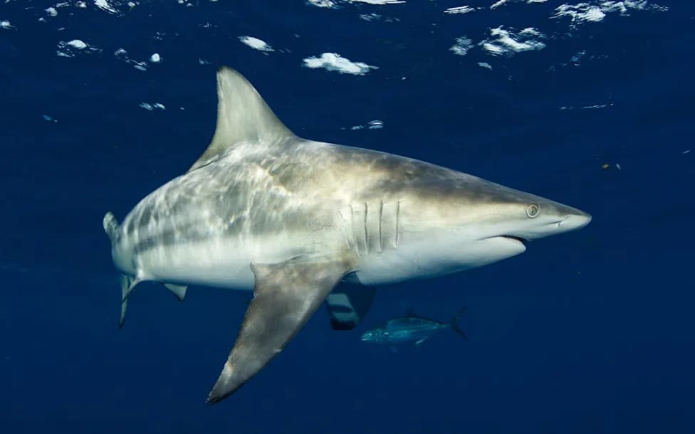
The University of Delaware is fitting CTD sensors to shortfin mako and blue sharks to collect conductivity, temperature and depth profiles in under-sampled shelf waters of the Mid-Atlantic Bight. These animal-borne measurements target the heat content of the ocean's mixed layer, a key factor that fuels hurricane intensification. After early mounting failures in 2023, a redesigned dorsal-fin housing produced the project's first successful CTD transmission from a shortfin mako in May 2025. The team is working with MARACOOS and planning additional deployments in summer 2026 to integrate shark data into operational observing networks.
Sharks as Ocean Sensors: How Tagged Makos and Blues Could Improve Hurricane Intensity Forecasts
shark
Scientists at the University of Delaware are mounting CTD sensors to shortfin mako and blue sharks to collect subsurface ocean profiles in the Mid-Atlantic Bight. Each time a tagged shark surfaces, the dorsal-fin mounted device can transmit conductivity, temperature and depth data to satellites — turning routine shark behavior into a mobile ocean-observing platform that could sharpen forecasts of hurricane intensity before a storm reaches land.
How the System Works
CTD stands for conductivity, temperature and depth. The tags used by the project were developed by the Sea Mammal Research Unit at St. Andrews University in Scotland. They store vertical profiles while the animal is submerged and transmit accumulated measurements during the brief moments the dorsal fin clears the water and connects with orbiting satellite receivers.
Why Subsurface Data Matter for Hurricanes
Researchers are focused on the heat content of the ocean's upper mixed layer. Warmer water in that layer supplies the thermal energy hurricanes draw from, so better knowledge of subsurface temperature and density can improve predictions of storm intensification — a forecasting challenge that remains harder than predicting a storm's track.
Species Selection and Tag Performance
After reviewing more than 20 years of satellite-tag data across 11 shark species, the team selected shortfin makos and blue sharks for their surfacing frequency and transmission reliability. Shortfin makos in the sample surfaced nearly twice per day on average, increasing the chance a CTD tag can successfully establish a satellite link and deliver usable profiles.
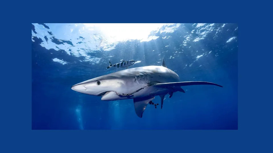
Photo Credit: Wirestock Creators via Shutterstock
Engineering Hurdles and Breakthroughs
Early deployments in 2023 used first-generation mounts on two blue sharks, but a mechanical problem prevented the antenna from sufficiently clearing the water during surfacing events, so transmissions failed. Researchers redesigned the mount with a rigid housing contoured to the leading edge of the dorsal fin to keep the antenna exposed. In May 2025, two shortfin makos carried the revised mounts and one successfully transmitted full CTD profiles and surface positions — the project's first confirmed full-profile transmission.
Aaron Carlisle, principal investigator and professor at the University of Delaware's School of Marine Science and Policy: "The engineering challenge was designing a mounting system that would reliably keep the tag's antenna out of the water during surfacing events. Each round of tagging teaches us something new."
Context and Next Steps
The Delaware project builds on more than two decades of work using animals as mobile ocean sensors, beginning with a University of Miami program started in 2001 that tagged hundreds of animals. Case studies demonstrate promise: a 2024 Scientific Reports paper co-authored by Carlisle described a salmon shark producing 56 geolocated profiles over 36 days, and a 2021 effort off Cape Cod collected thousands of profiles from tagged sharks.
So far, no shark-derived profile has been formally ingested into an operational hurricane forecast. The University of Delaware team is working with the Mid-Atlantic Regional Association Coastal Ocean Observing System (MARACOOS) to route shark-collected profiles into the data streams meteorologists use. At least two further deployments are planned for summer 2026 as the team scales and refines the system.
Implications for Coastal Communities
If reliably integrated into forecasting systems, timely subsurface measurements from tagged sharks could help forecasters better estimate a storm's potential intensity before landfall, improving preparedness and decision-making for communities from North Carolina to Massachusetts.
Photo Credit: Wirestock Creators via Shutterstock
Help us improve.