The Lowline will convert a 1.6-mile stretch of abandoned rail on the Charleston peninsula into a pedestrian and bicycle corridor that doubles as stormwater infrastructure. Planted medians and engineered "sponge gardens" will slow runoff, improve water quality and reduce pressure on sewers—especially important in the Lowcountry’s flat, high-water-table landscape. The corridor requires removal of herbicide-contaminated soils and replacement with engineered soils. Homeowners can support resilience by installing rain gardens; Clemson provides step-by-step resources.
Charleston’s Lowline: A Linear Park That Handles Water — Why Its Landscaping Matters
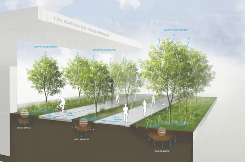
Charleston's Lowline will transform a former rail corridor into a park that captures stormwater, filters pollutants and shows how green infrastructure can reduce flooding. DesignWorks/Provided
The Lowcountry’s Lowline project is transforming an abandoned rail corridor on the Charleston peninsula into a resilient linear park that blends recreation with stormwater management.
What the Lowline Will Look Like
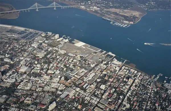
The first phase will stretch roughly 1.6 miles from Mount Pleasant Street south to Line Street, passing near the North Central, Eastside, Westside and Upper Peninsula neighborhoods. Long-term plans envision extensions farther south toward Marion Square. This initial segment is designed as a dedicated pedestrian and bicycle corridor with separate walking and cycling lanes to reduce user conflicts.
Landscape As Infrastructure
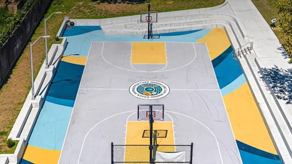
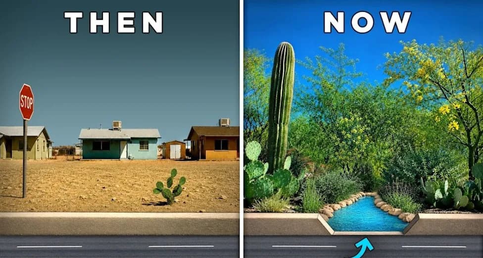
Between the paths, planted medians and engineered "sponge gardens" will capture, slow and store stormwater. Rather than simply moving runoff away, the project uses green infrastructure — rain gardens, bioswales, permeable soils and trees — to retain water where it falls. These features slow runoff, increase infiltration and reduce sudden surges into the storm sewer system.
Water Quality And Pollution Control
Stormwater from streets, roofs and parking lots often carries sediment, oil, fertilizers, pesticides and pet waste. As runoff passes through vegetation, mulch and engineered soils, sediment is trapped and many pollutants are filtered or biologically broken down before water reaches creeks, marshes and rivers.
Soil Replacement And Site Repair
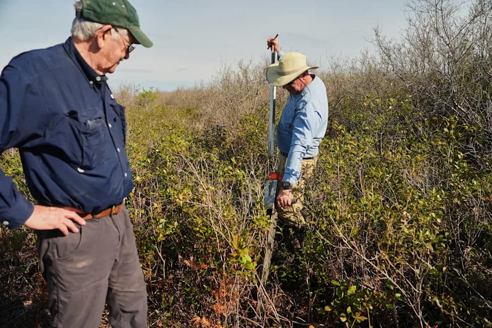
The ground beneath the former rail corridor was contaminated after decades of herbicide use, including some arsenic-based formulations. Excavating and replacing contaminated soils is costly but essential: new engineered soil mixes will be cleaner, better-draining and tailored to hold, filter and infiltrate stormwater. In short, the Lowline is restoring habitat and hydrology as well as creating public amenities.
How This Helps Charleston
Charleston’s flat terrain and high water table make drainage difficult, and flooding is increasingly frequent when heavy rain coincides with high tide. By capturing and treating rain onsite, the Lowline reduces pressure on conventional drainage systems and improves neighborhood resilience to flooding and pollution.
What Homeowners Can Do
Many of the same ideas can be applied at home. A residential rain garden — a shallow, planted depression sited downhill from roof runoff but away from foundations — can intercept flow, increase infiltration and filter pollutants. Use native grasses, perennials, shrubs and small trees: plants in the basin should tolerate brief standing water while edge plants prefer drier conditions. Remember: a rain garden is designed to infiltrate water, not form a permanent pond.
Clemson University offers step-by-step guidance, videos and plant recommendations through its Carolina Rain Garden Initiative: www.clemson.edu/extension/raingarden. For project details and community engagement, visit Friends of the Lowline: www.friendsofthelowline.org.
As tides rise and storms intensify, projects like the Lowline show how urban design can work with natural processes—providing recreation, habitat and flood resilience in one integrated public space.
Help us improve.