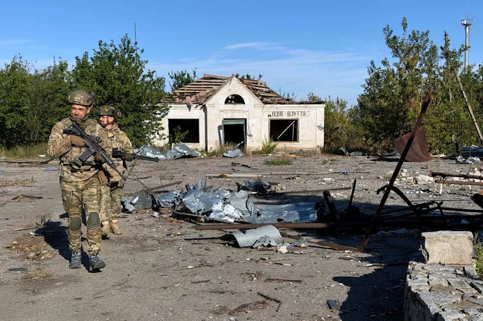
Kostyantynivka illustrates the slow, costly nature of Russia's Donbas offensive. A July 3 Russian claim to have captured the town was challenged by geolocated videos, Ukrainian testimony and independent maps. Expanding drone range, contested use of white phosphorus over populated areas and high reported casualty rates have shaped a year of grinding fighting that has left much of the town in ruins while control remains contested.
Kostyantynivka's Ruins: What One Town Reveals About the Slow, Costly Russian Advance
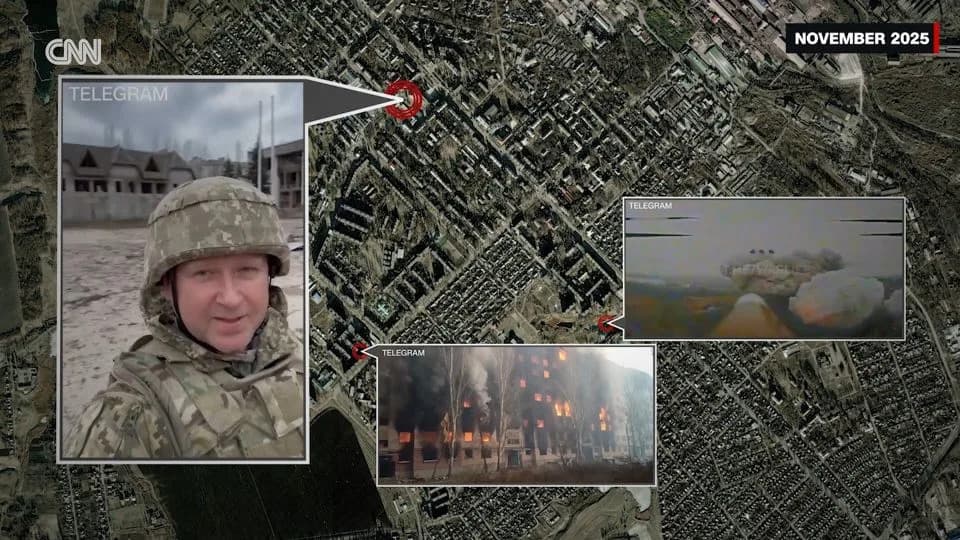
In eastern Ukraine, one town tells the story of Putin's costly war.- Clipped From Video
Kostyantynivka, a small town in eastern Ukraine, has become a concentrated example of how grinding, high-casualty fighting has produced limited territorial gains for Moscow. Over the course of a year, the town's changing frontlines, footage from both sides and independent mapping offer a rare, ground-level view of a campaign that has proved slow, destructive and politically fraught.
July 3 Claim and the Evidence
On July 3, the Russian Ministry of Defense published a series of videos showing troops and Russian flags in parts of Kostyantynivka's center and declared the town captured. That assertion was quickly disputed by geolocated footage, Ukrainian testimony and independent frontline maps, which showed Russian forces close to but not in full control of significant sections of the town. Ukraine's president publicly challenged the claim, inviting President Putin to visit the town if Moscow truly held it.
How the Frontline Evolved
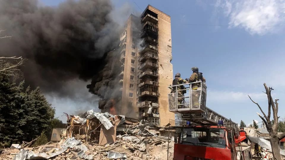
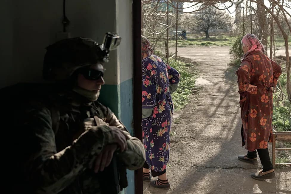
Independent Ukrainian analysts tracked an incremental push: a widening gray zone of contested ground, more frequent airstrikes and greater use of attack drones that steadily extended the reach of Russian fires. When reporters from CNN visited last year, streets were still busy and civilians moved cautiously under fishing-net covers erected to shield convoys from drones. By winter the gray zone had crept closer to the center; apartment blocks in the southwest burned in videos shared by Ukrainian forces, and other footage showed damage from nearby airstrikes.
Technology, Tactics and Cost
Two dynamics shaped Moscow's limited progress. First, the operational range and lethality of attack drones increased month by month, converting previously safer approaches into high-risk corridors. Second, Ukrainian and Western officials began repeating estimates that Russian casualties — dead and wounded combined — may have reached tens of thousands per month. Those figures are contested and difficult to verify independently, but if accurate they underscore the human cost behind even small advances.
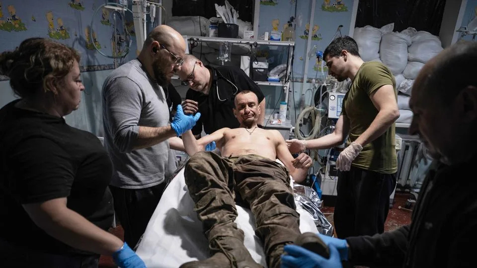
Military medics give first aid to a wounded soldier at a stabilisation point near Kostyantynivka on November 11, 2025. - Iryna Rybakova/Ukraine's 93rd Mechanized Brigade/AP
"The enemy paints victories on screens, but in practice they are destroyed by our units. The city stands. Defense continues," one Ukrainian unit wrote after the July claim, posting footage of a drone strike on Russian personnel in rubble.
Civilian Toll and Destruction
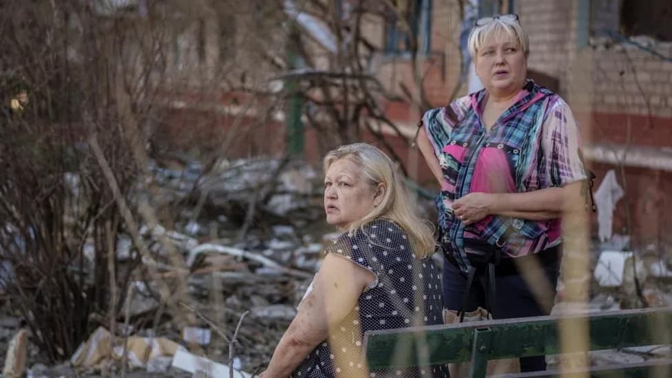
Civilians largely evacuated as fighting intensified, and much of the town has been reduced to rubble. Footage from early in the year and later months shows locations once held by Ukrainian forces transformed into skeletal ruins. Reports and videos in February indicated the use of white phosphorus over residential areas; the deployment of such munitions in populated areas is widely condemned under international humanitarian law and raises serious legal and ethical concerns.
Why Kostyantynivka Matters Strategically
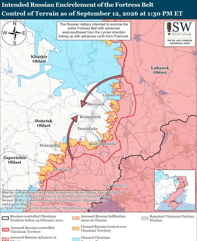
While Kostyantynivka itself covers roughly 66 square kilometers (25.5 square miles), its capture would help Moscow approach larger Donbas cities such as Kramatorsk and Sloviansk. But taking those population centers would likely require similar prolonged, high-casualty campaigns, suggesting any optimistic timetable for major territorial gains is far from assured.
Broader Implications
The town's year-long ordeal highlights a central weakness in Kremlin strategy: sustaining domestic and international narratives of success when battlefield advances are incremental, costly and frequently contested. Whether the July 3 videos represented localized gains, propaganda or a mixture of both, Kostyantynivka demonstrates the limits of territorial claims that are not backed by sustained, verifiable control.
Note: Many figures cited by officials remain hard to independently verify. This account relies on publicly available mapping, geolocated footage and on-the-ground reporting to present a balanced reconstruction of events around Kostyantynivka.
Help us improve.