The first national resilience map for U.S. rivers shows just 6% of waterways in the contiguous U.S. are in good condition and 14% need help. A four-year analysis of about 5.2 million miles of rivers found roughly one-third scored above average for climate resilience, while 15% were classed as vulnerable. The map has already guided actions such as targeted dam removals and headwater protections, and researchers warn that up to three-quarters of rivers could lose biodiversity without urgent action.
New Map Finds Only 6% Of U.S. Rivers Healthy — Conservation Targets Identified As Climate Threats Rise
New map exposes dire state of American rivers as only six percent are healthy amid climate emergency
A new national map identifies which U.S. rivers are most resilient — and which are in urgent need of protection — as the climate emergency intensifies.
Researchers and conservationists behind a September study report that only 6 percent of rivers in the contiguous United States are currently in good condition, while a further 14 percent are considered to need assistance. The four-year analysis covered approximately 5.2 million miles of rivers and streams across the lower 48 states.
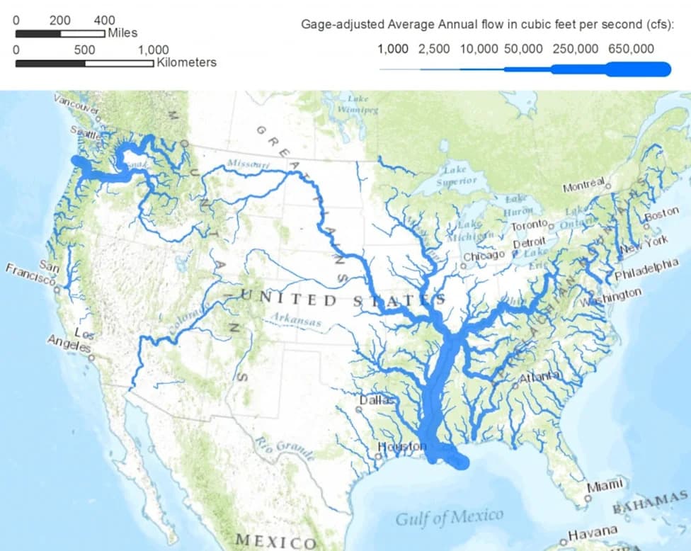
The study evaluated river networks on multiple factors: how well the network is connected and whether animals can move freely through it, water quality, the condition of adjacent lands, water quantity, and how much flows have been altered by human activity. The analysis produced a resilience map with a color key (blue, purple, brown, yellow and green) that highlights where rivers are most and least capable of sustaining freshwater biodiversity (Anderson et al., 2026, PLOS One, CC-BY 4.0).
Where Rivers Fare Best
About one-third of river miles scored above average for resilience. Higher-resilience corridors are concentrated along the Pacific Coast, the Northern Rocky Mountains, parts of the Great Lakes region (especially Wisconsin and Minnesota), northern Maine, and coastal areas of the southeastern U.S. and the Gulf Coast. The authors note that even some above-average rivers may still need restoration to remain healthy under growing climate stressors.
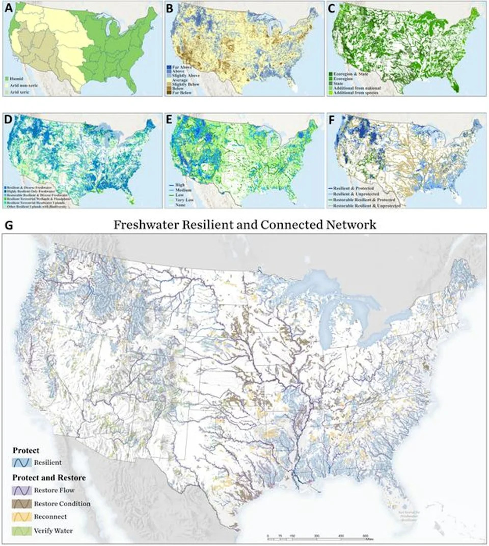
A new map shows which rivers are resilient and which are vulnerable across the U.S. The rivers are highlighted with colors - blue, purple, brown, yellow and green - that correspond to their level of resiliency as shown in the key on the bottom left of the image (Anderson et al., 2026, PLOS One, CC-BY 4.0 (https://creativecommons.org/licenses/by/4.0/))
Where Rivers Are Most Vulnerable
Rivers classed as vulnerable or below-average made up roughly 15 percent of the mapped networks. These vulnerable systems are concentrated in the Southwest deserts, lower New England, the shortgrass prairie east of the Rockies, and the agricultural landscapes of the Midwest.
From Map To Action
By pinpointing vulnerability and resilience, the researchers say the map has already informed conservation actions: specific dams have been flagged for removal to restore connectivity, and land around headwaters has been prioritized for protection.
"We can now point at a map for the first time and say, these are the rivers most capable of sustaining diversity of aquatic life, and this is what each one needs," said Mary Khoury, a freshwater ecologist at The Nature Conservancy, which led the study.
The team cautioned that their resilience map does not yet incorporate human social or economic needs, but those data can be layered on to help guide balanced management decisions.
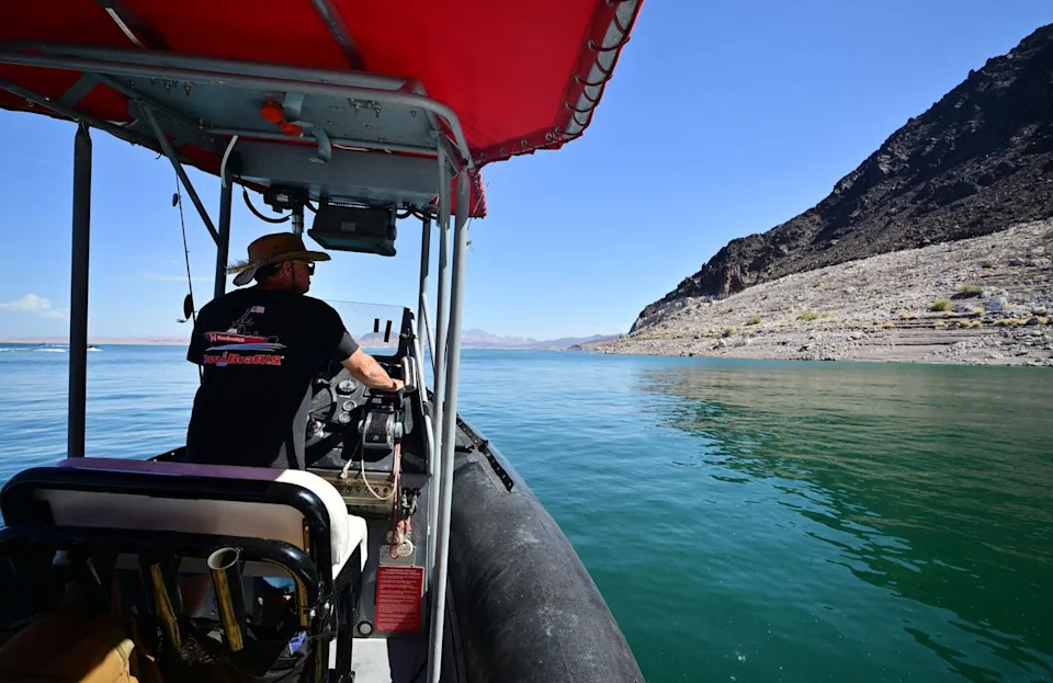
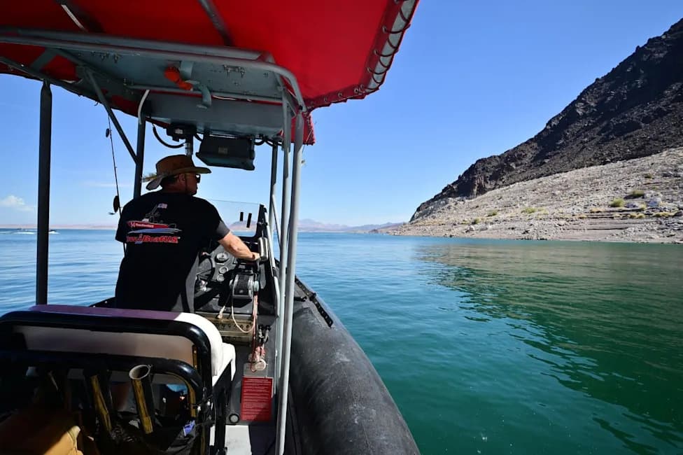
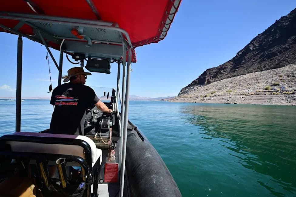
Boat operator Brian Essex navigates his boat on Lake Mead, an offshoot of the Colorado River, in August. Extreme heat worsened by climate change is shrinking water levels (AFP via Getty Images)
Climate Impacts And Risks
Climate change is already affecting river systems through more intense flooding, larger and more frequent fires, sea-level rise, longer and deeper droughts, and changes to groundwater. Rising temperatures also promote toxic algal blooms and can increase the spread of waterborne disease, degrading freshwater habitats and water quality.
Photographs accompanying the research captured scenes such as boat operator Brian Essex navigating Lake Mead — an offshoot of the Colorado River — which reached record-low levels this summer amid historic heat and expanded drought.
The Nature Conservancy warned alongside the release that as many as three-quarters of U.S. rivers could lose significant biodiversity if climate change continues unchecked, underscoring the urgency of targeted conservation and restoration.
What Comes Next
The map provides a spatially detailed tool for managers, scientists and communities: it identifies where restoration and protection can best sustain freshwater biodiversity. Integrating social, economic and water-use data will be an important next step to ensure conservation actions also support human communities that rely on these rivers.
Help us improve.