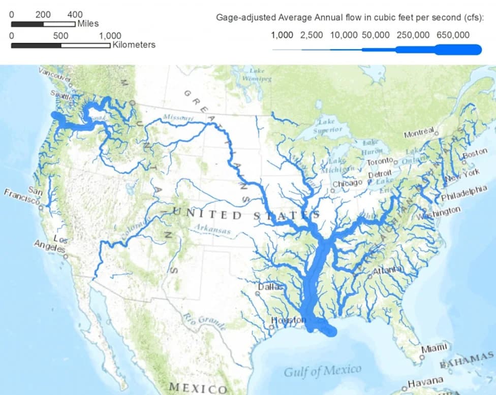
A four-year PLOS One study mapped resilience across about 5.2 million miles of U.S. rivers and streams and found only 6% in good condition while 14% need help. About one-third of river networks scored above average for resilience, and roughly 15% were rated vulnerable, concentrated in the Southwest, lower New England and Midwestern agricultural lands. The map has already guided actions such as dam removals and headwater protections; researchers say combining these ecological maps with social and economic data can better guide balanced conservation.
New Map Reveals Which U.S. Rivers Need Protection Most — And Where To Act Now
New map highlights which US rivers should be priorities for protection
A four-year analysis published in PLOS One has produced the first nationwide map identifying which U.S. rivers and streams are most resilient to climate change and which are most vulnerable. The study assessed roughly 5.2 million miles of waterways across the contiguous United States and found that only 6% are in good condition while 14% have been identified as needing help.
Researchers say a century of landscape alteration, heavy groundwater extraction and flow changes have driven steep declines in river species. By mapping resilience and vulnerability, the team has already helped guide practical conservation steps: specific dams have been flagged for removal and lands around headwaters have been prioritized for protection to bolster at-risk river systems.
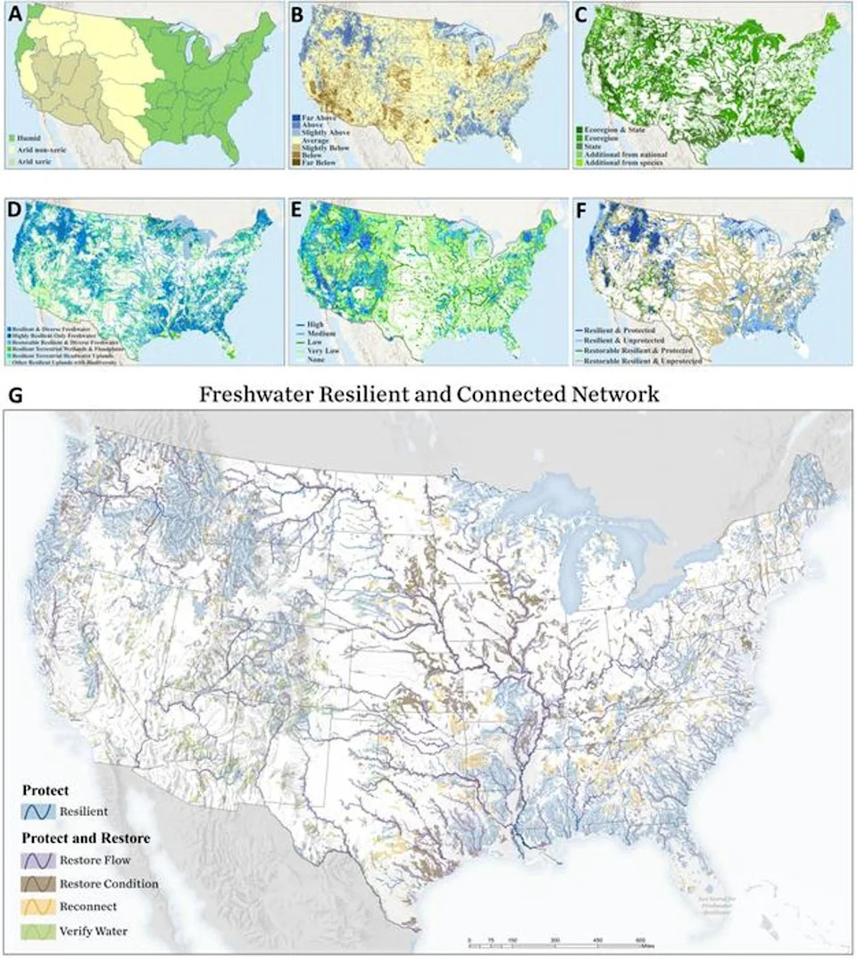
A new map shows which rivers are resilient and which are vulnerable across the U.S. The rivers are highlighted with colors - blue, purple, brown, yellow and green - that correspond to their level of resiliency as shown in the key on the bottom left of the image (Anderson et al., 2026, PLOS One, CC-BY 4.0 (https://creativecommons.org/licenses/by/4.0/))
“We can now point at a map for the first time and say, these are the rivers most capable of sustaining diversity of aquatic life, and this is what each one needs,” said Mary Khoury, a freshwater ecologist at The Nature Conservancy, which led the study.
The assessment ranked river networks using multiple ecological criteria: connectivity within the network, the ability of animals to move freely, water quality, condition of riparian and nearby lands, water quantity and the degree to which natural flows have been altered. About one-third of river networks scored above average for resilience to human-driven climate change, though many of these still require restoration and stewardship.
High-resilience regions include parts of the Pacific Coast, the Northern Rocky Mountains, Great Lakes drainages in Wisconsin and Minnesota, northern Maine and some coastal zones in the Southeast and along the Gulf Coast. Conversely, about 15% of river networks were classified as vulnerable or below average. These vulnerable systems are concentrated in Southwest deserts, lower New England, the shortgrass prairie east of the Rockies, and agricultural landscapes across the Midwest.
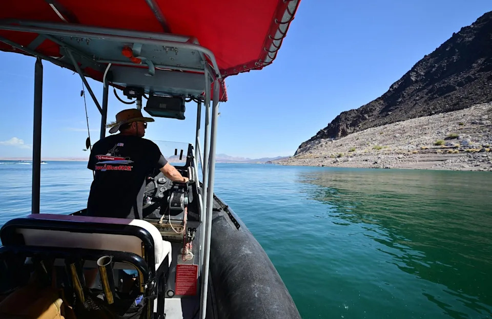
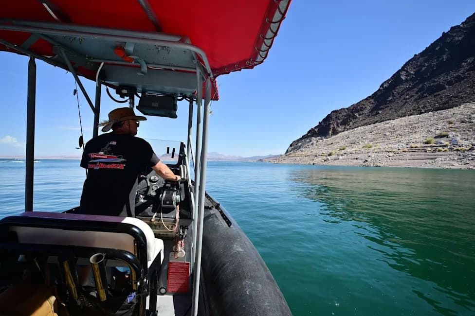
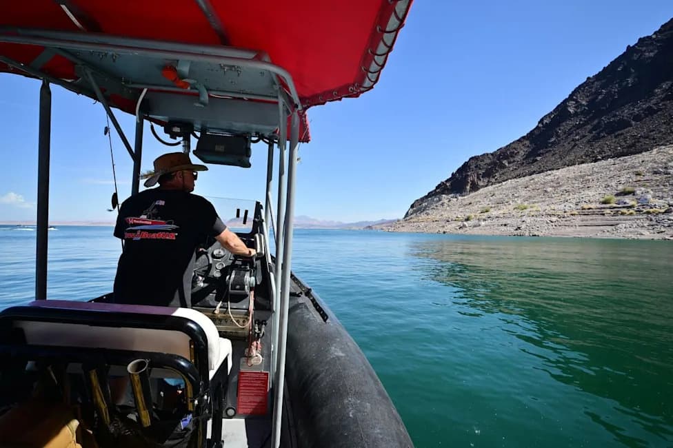
Boat operator Brian Essex navigates his boat on Lake Mead, an offshoot of the Colorado River, in August. Extreme heat worsened by climate change is shrinking water levels (AFP via Getty Images)
The authors note the current maps focus on ecological resilience and do not explicitly account for human uses or social needs. They recommend combining these ecological data with social, economic and cultural information to create balanced management plans that protect biodiversity while addressing human priorities.
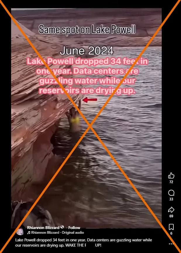
Climate-driven impacts—flooding, wildfires, sea-level rise, drought and groundwater changes—are already affecting river water quality, according to nonprofit groups. Rising temperatures also increase the risk of toxic algal blooms that damage ecosystems and pose public-health risks. This summer, extreme heat and prolonged drought pushed southwestern reservoirs such as Lake Mead and Lake Powell—both fed by the shrinking Colorado River—to record-low levels, underscoring regional water stress.
In a statement accompanying the research, The Nature Conservancy warned that as many as three-quarters of U.S. rivers could lose significant biodiversity if current climate trends continue. The study’s authors emphasize that targeted actions informed by the map—such as removing barriers, protecting headwaters and improving land stewardship—can increase resilience and help safeguard aquatic life.
Help us improve.