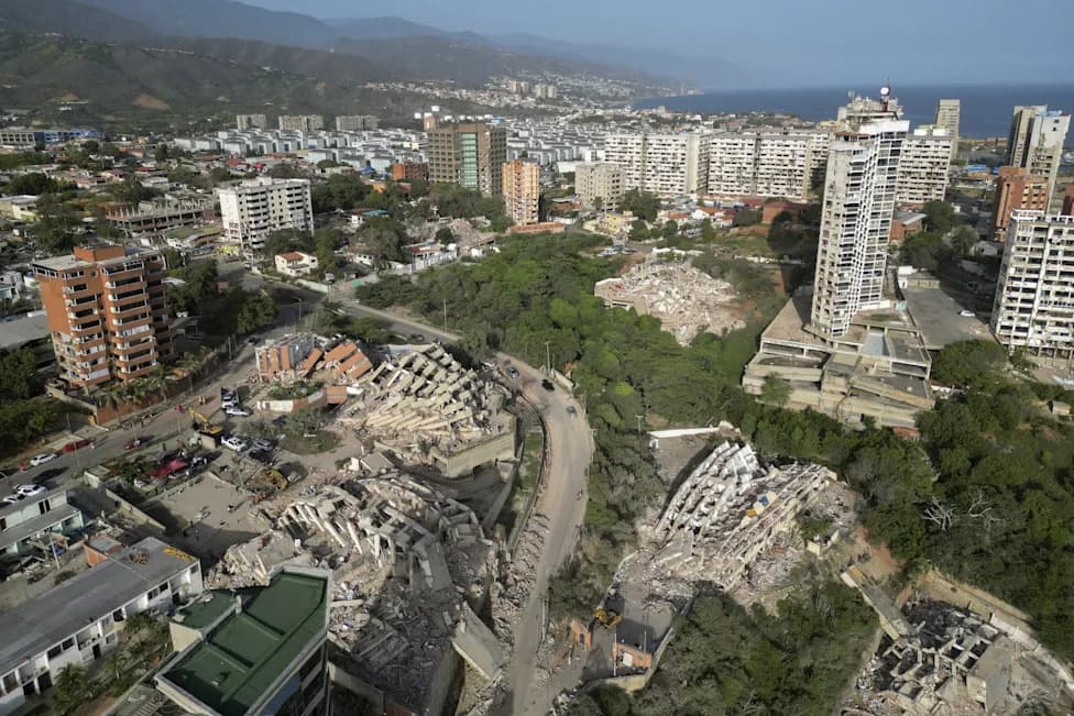
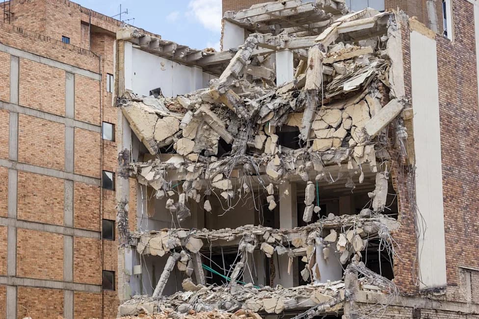
The University of Florence team, led by Stefano Tavani, finds that delamination — a deep 'unzipping' of the lower crust beneath the Apennines — is a major driver of regional earthquakes rather than subduction alone. Combining earthquake records, GPS, satellite data and tectonic models, the researchers show how sinking lower crust redistributes stress and triggers faulting. They call for expanded monitoring to improve hazard maps, building codes and emergency preparedness.
Italy's Crust Is 'Unzipping': Deep Delamination Fuels Apennine Earthquakes
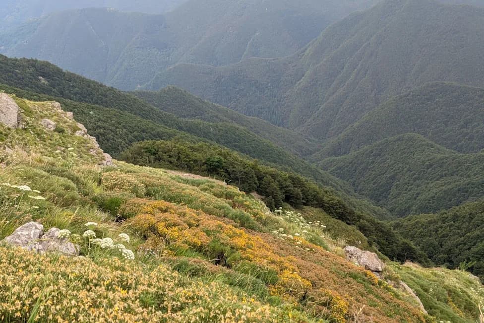
Photo Credit: iStock
A team led by geoscientist Stefano Tavani at the University of Florence reports that the lower crust beneath the Apennine mountain chain is peeling away and sinking into the mantle in a process called delamination. The researchers, whose findings were described in Live Science, argue that this deep 'unzipping' — rather than subduction alone — explains much of the region's seismic activity.
The Apennines run the length of the Italian peninsula and lie between the African and Eurasian plates. For roughly 50 million years, the northward motion of the African plate pushed the ancient Tethys Ocean floor beneath the range. That long history of collision produced alternating phases of compression and extension and helped form nearby basins, including the Tyrrhenian Sea, which opened about 10 million years ago.
How Delamination Triggers Earthquakes
According to the paper, as the lower crust peels away and descends into the mantle, it redistributes stresses in the upper crust. Those stress changes can sustain deformation of the mountain belt and reactivate faults, producing earthquakes across the region. The research team reached this interpretation by combining earthquake records, GPS measurements, satellite observations and tectonic modeling.
Tavani also suggested that analogous delamination may be occurring near the Hellenic trench south of Greece, indicating the process could operate in other convergent settings.
Implications for Monitoring and Risk Reduction
The authors recommend expanded, continuous monitoring: updated earthquake catalogs, denser GPS networks and more satellite observations to track how crustal blocks move over time. Improved, longer-term datasets will help refine hazard maps, strengthen building codes and guide emergency planning — measures that can substantially reduce casualties and damage even though tectonic forces themselves cannot be stopped.
Other Regions With Similar Deep Processes
- Cascadia Margin: Parts of the coast could abruptly subside in a major quake.
- Antarctica: AI analyses detected roughly 500 previously hidden earthquakes far from plate boundaries.
- Germany: Scientists are investigating tremors linked to deep geothermal operations.
- Nevada (Devils Hole): An earthquake produced a nine-inch wave that disturbed rare pupfish habitat.
“We are experiencing the very, very late stage to the subduction, and the tectonics is driven by a different engine, which is this unzipping,” Tavani told Live Science.
Continued research and monitoring will help scientists refine seismic hazard assessments and support policies that make communities more resilient to future earthquakes.
Help us improve.