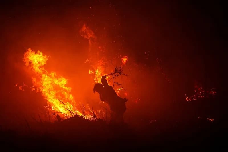
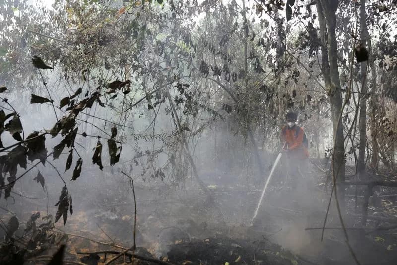
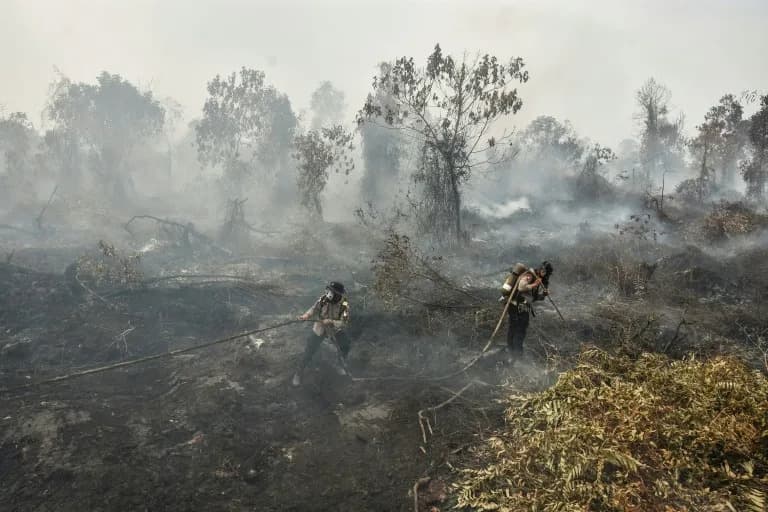
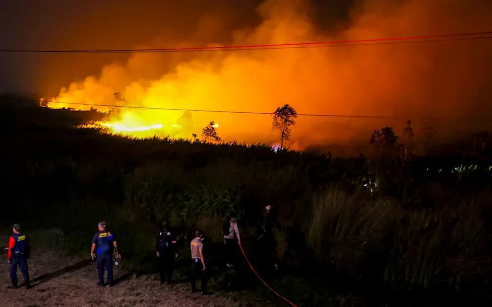
A 350-member Japanese Self-Defense Forces contingent arrived in West Kalimantan with three helicopters to help tackle Indonesia's wildfires, but heavy smog initially grounded their flights. Water-bombing began on Wednesday after delays, yet operations were again halted when visibility dropped below three kilometres. The fires, worsened by a strong El Niño, climate change, forest degradation and slash-and-burn practices, have affected hundreds of thousands of hectares and spread haze to neighbouring countries.
Thick Smog Grounds Japanese Helicopters Battling Indonesia's Wildfires
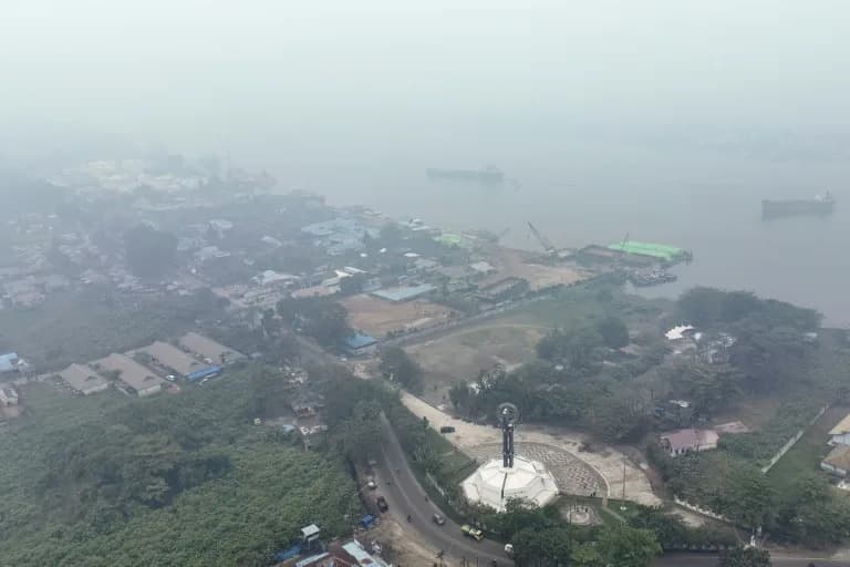
This aerial picture shows smoke shrouding the Equator Monument and the city of Pontianak in West Kalimantan on September 17, 2026. (DITO)
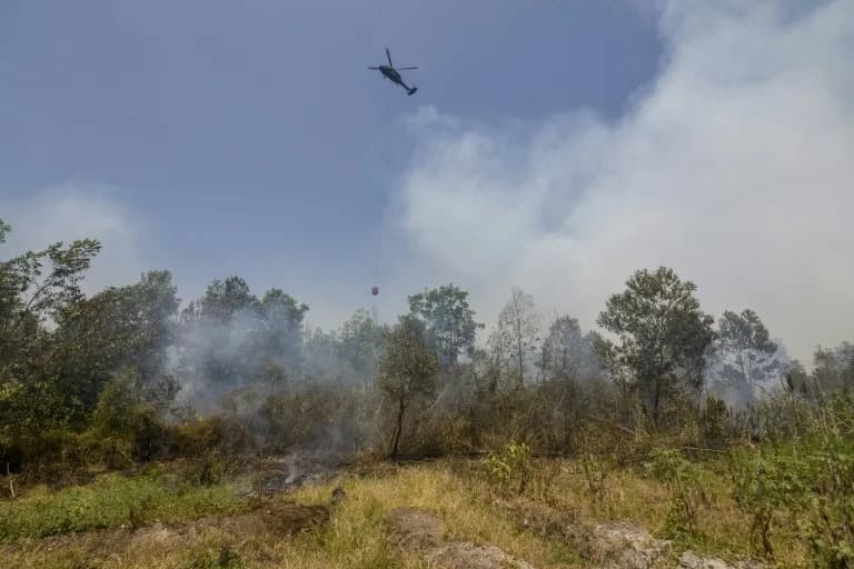
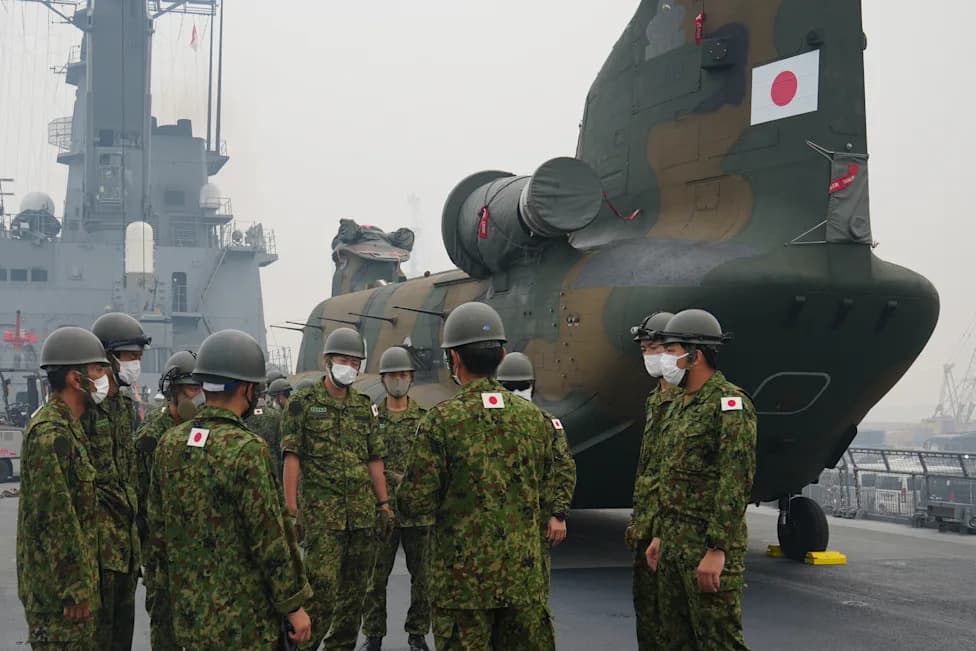
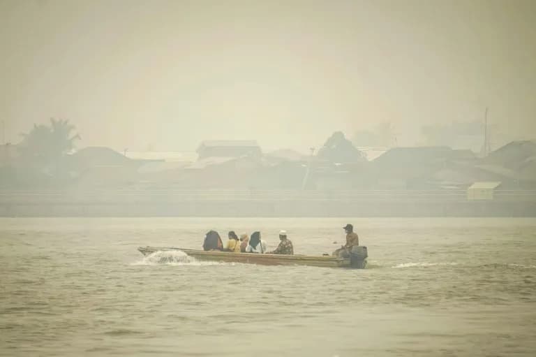
A 350-strong contingent from Japan's Self-Defense Forces has been hampered in its mission to assist Indonesia's firefighting effort after thick smog made helicopter operations unsafe, a mission spokesman told AFP on Thursday.
The unit arrived last week in West Kalimantan, one of the worst-hit regions of Borneo, with three helicopters intended for water-bombing and aerial support. Officials had planned to begin operations on Sunday but delayed them because smoke and low visibility posed a flight risk.
Takeshi Koga, the mission's public affairs officer, said the water-bombing effort finally began on Wednesday but that all flights on Thursday were cancelled after smog cut visibility to under three kilometres (about 1.9 miles).
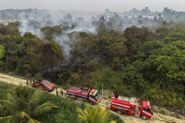
Indonesia's dry season, which typically runs from July through October, regularly brings forest and peatland fires. This year's blazes have been particularly severe, driven in part by a strong El Niño event that experts warn could be the most intense in roughly 40 years.
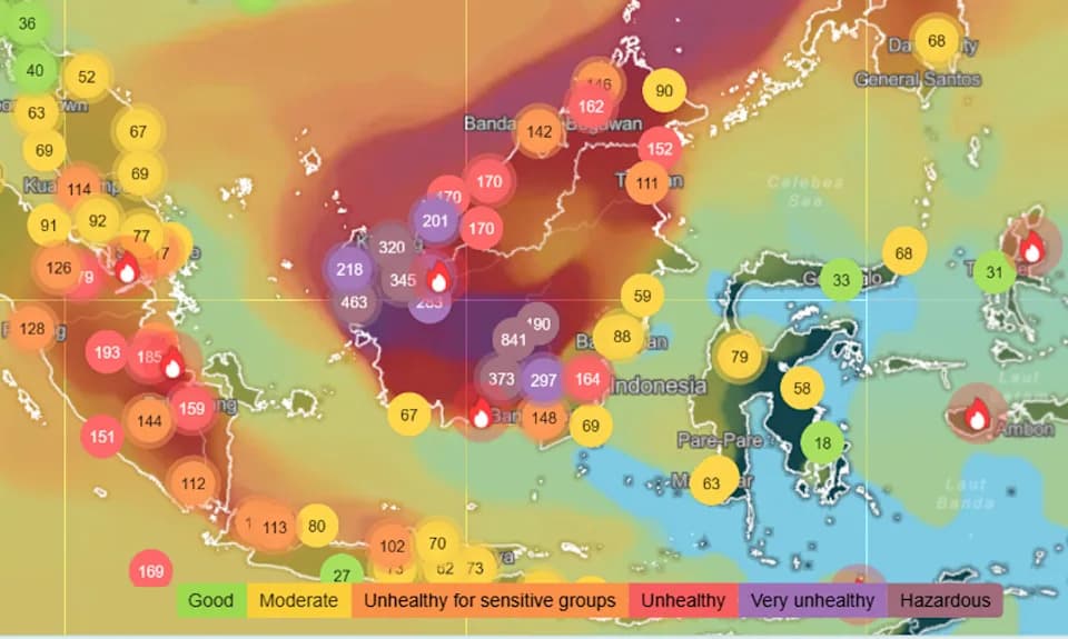
Authorities and environmental specialists also cite long-term forest degradation, the widespread use of slash-and-burn land clearing, and the broader impact of climate change for increasing fire risk and intensity. The resulting haze has not only affected communities across parts of Indonesia but also spread to neighbouring Malaysia and Singapore.
Scale of the Damage
The Indonesian government reported that more than 202,000 hectares burned nationwide between January and July. The independent Nusantara Atlas project estimated close to 300,000 hectares for the same period and put the total area affected — including August — at nearly 896,000 hectares.
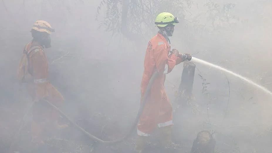
Local and international teams continue to assess conditions on the ground and await improved visibility before resuming more extensive aerial operations.
Help us improve.