The tree-covered feature seen on Williston Reservoir was confirmed to be a real floating mat of logs and vegetation, not an optical illusion. Satellite, aircraft and boater reports show it drifted about 19 miles over roughly 15 days before coming to rest along the Ospika Arm. Measuring about 460 by 230 feet, researchers believe years of accumulated woody debris allowed plants to take root; scientists are now studying its formation and movement.
Floating 'Island' on B.C.'s Williston Reservoir Tracked — Mystery Largely Solved
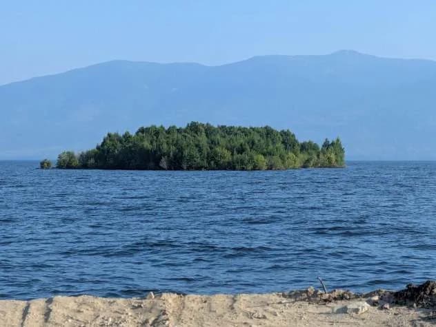
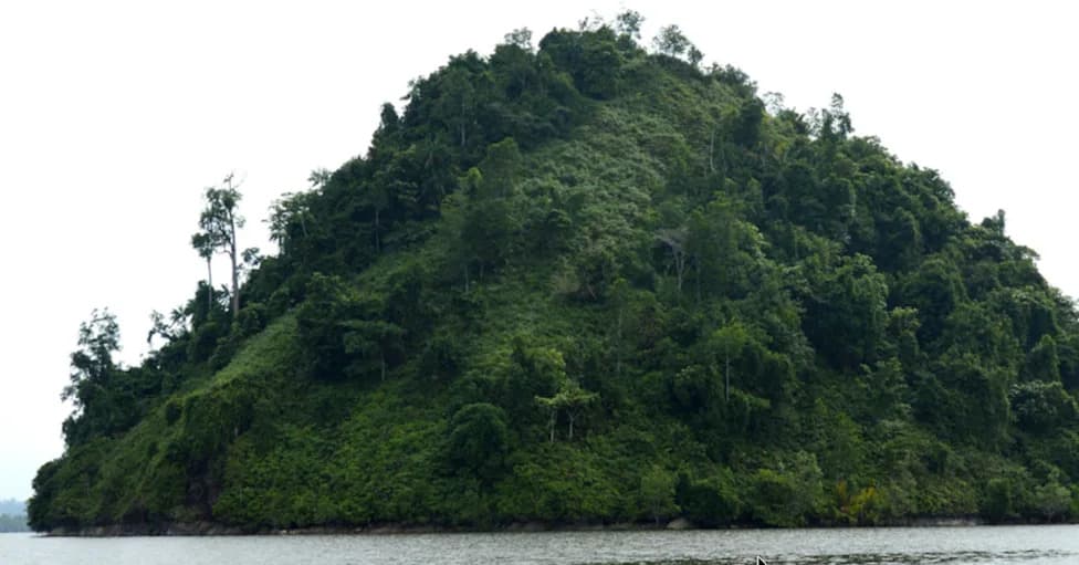
The floating island near the Ospika Arm of the Williston Reservoir on Aug. 31, 2026. (Image credit: Rocky Avery/Facebook)
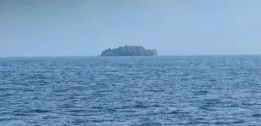
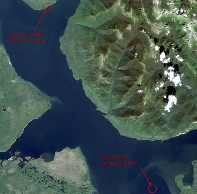
A small, tree-topped feature spotted on British Columbia's Williston Reservoir was confirmed not to be a mirage but a drifting mat of logs and vegetation. Boaters first reported the formation near Finlay Bay in late July, and BC Hydro received photos and video on Aug. 13 that prompted an official investigation.
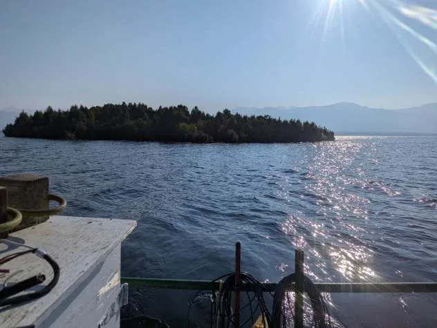
The floating island near the Ospika Arm of the Williston Reservoir on Aug. 31, 2026. (Image credit: Rocky Avery/Facebook)
"When we first received photos and video of a floating island covered in trees, we weren't entirely convinced,"said BC Hydro Community Relations Manager Bob Gammer.
"In the age of AI, it's important to verify unusual reports before drawing conclusions."
AccuWeather.com
Verification came from multiple sources: satellite imagery plus observations from aircraft and on-the-water reports confirmed the feature was real. BC Hydro announced on Sept. 2 that the raft had been located resting against the shoreline along the Ospika Arm, roughly 19 miles northwest of where it was first documented.
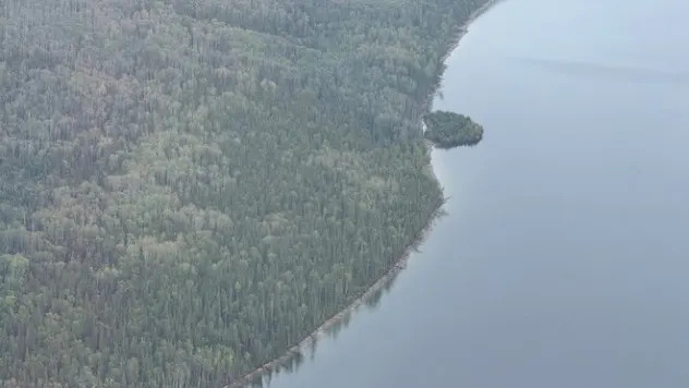
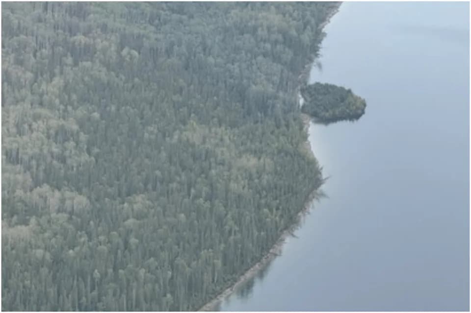
An aerial photo of the floating island near the Ospika Arm of Williston Reservoir in Canada. (Image: BC Hydro)
What Researchers Believe
Investigators now think the "island" is a buoyant accumulation of logs and woody debris that collected in a sheltered area over many years. As the material decomposed, grasses, shrubs and even trees likely became established, binding the driftwood into an interconnected mat capable of supporting vegetation. High water levels may have lifted the mat from the shore, allowing wind and currents to carry it across the reservoir.
The raft reportedly remained cohesive during its journey and measures about 460 feet long by 230 feet wide — an area comparable to roughly two football fields.
Why It Was Hard To Track
Williston Reservoir covers about 685 square miles when full, making it the largest reservoir in British Columbia and one of the world’s largest by volume. The lake was created when the W.A.C. Bennett Dam on the Peace River began filling in 1968, and its vast surface area made locating a drifting mat challenging until corroborating satellite and aircraft observations narrowed its position.
Ongoing Study And Safety Advice
Geologists, ecologists and other scientists are examining the raft to learn how vegetation established on decomposing woody debris, how the mass stayed intact while moving, and what conditions allowed it to become buoyant. BC Hydro has advised people to photograph the feature from boats or with drones but not to land on it: the logs and decaying material create an unstable surface that could collapse.
Help us improve.