The Washington State DNR released animated simulations showing how a hypothetical M9.2 megathrust earthquake in the Alaska–Aleutian subduction zone could send a trans‑Pacific tsunami to the U.S. West Coast within hours. Models predict roughly 10–30 ft waves on outer beaches, dangerous harbor currents and flooding of low‑lying areas in a maximum rupture scenario. Officials cite the 1964 M9.2 Great Alaska Earthquake as precedent and urge communities to use these simulations for evacuation planning and preparedness.
DNR Simulation: M9.2 Alaska Megathrust Could Send 10–30 ft Tsunami To U.S. West Coast (Video)
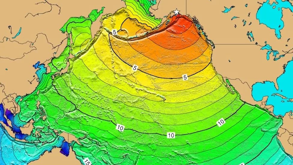
9.2 Alaska Earthquake Model Unleashes Nightmare Tsunami Threat for West Coast (Video)
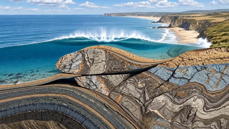
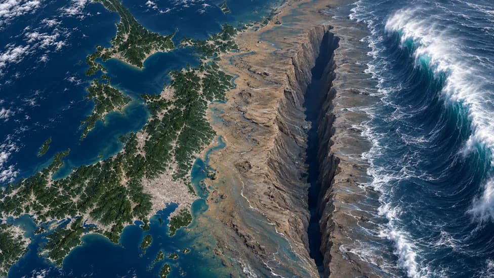
New computer modeling from the Washington State Department of Natural Resources (DNR) shows how a hypothetical magnitude 9.2 megathrust earthquake in the Alaska–Aleutian subduction zone could generate a trans‑Pacific mega‑tsunami that reaches Washington, Oregon and California within hours.
What The Simulation Shows
The DNR's animated simulation traces enormous ocean waves racing southward across the Pacific and arriving at West Coast shores within hours of a modeled rupture. Under a worst-case M9.2 scenario, ocean models project distant tsunami wave heights of roughly 10–30 feet on outer beaches, along with violent currents inside harbors and potential inundation of low‑lying coastal areas.
Why This Matters
Although megathrust events on this subduction zone are rare on human time scales, their consequences can be catastrophic. The modeling is intended to help emergency planners, coastal communities and families visualize the speed and reach of distant tsunami hazards and to prioritize lifesaving measures such as vertical evacuation structures.
"It is startling, and it is scary... trying to understand those hazards is critical for being able to plan for them. Although the chances of this happening in our lifetime is low, it's important for families to get prepared now." — DNR Geologists
Historical Precedent
There is a chilling historical example: the Great Alaska Earthquake on March 27, 1964. That M9.2 event—the largest recorded earthquake in North America—produced local landslide tsunamis and an ocean‑wide wave train that caused 131 deaths and about $311 million in property losses at the time (more than $3 billion in today's dollars). In some Alaska fjords, tsunami heights exceeded 100 feet, and impacts were recorded as far south as Crescent City, California.
Preparedness And Planning
Seismologists emphasize that another megathrust rupture in the Alaska–Aleutian zone is a question of when, not if. While the recurrence interval for a complete, massive rupture spans centuries, the DNR simulation illustrates the pathways, arrival times and likely effects that can inform community planning, evacuation route design and construction of vertical‑evacuation refuges. Officials urge coastal residents to know evacuation maps, prepare emergency kits, and practice family evacuation plans.
Watch the DNR simulation video below to see projected arrival times and wave propagation across the Pacific. Studying these models now can help save lives before the next major event.
Help us improve.