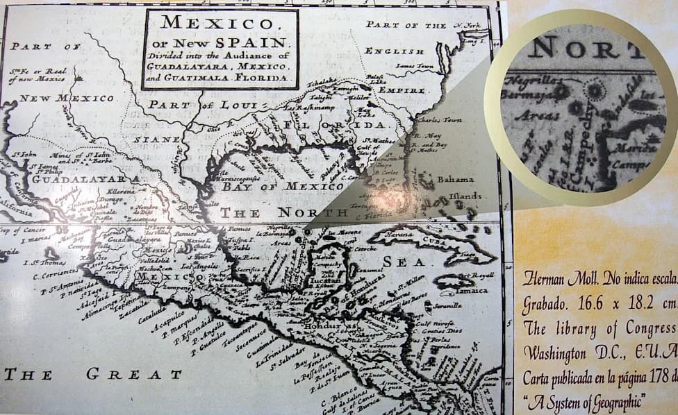
Isla Bermeja was placed on 16th‑century Spanish charts at 22°33′N, 91°22′W, but multiple searches—including a 1775 naval voyage, a 1997 Mexican survey, and a 2009 UNAM expedition—found no island or submerged remnant. The 2009 survey returned 933 seabed photos and sediment dates showing no formation for about 5,300 years. The island's supposed presence mattered because, under UNCLOS, an island could have extended Mexico's maritime claim and access to an estimated $22 billion in Gulf oil, shaping negotiations with the United States.
The Ghost Island Worth $22 Billion: How Isla Bermeja Haunted Maps and Oil Claims
The $22 Billion Ghost Island That Never WasALFREDO ESTRELLA - Getty Images
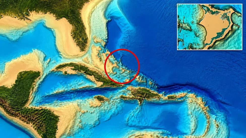
In 1535 a cartographer added an island called Isla Bermeja to Spanish charts of the Gulf of Mexico, recording coordinates of 22°33′N, 91°22′W and estimating its size at roughly 50 miles (81 km). The mapmaker who contributed to the Carta Universal relied on secondhand reports rather than first‑hand observation, and Bermeja would persist on maps and in official records for centuries despite repeated failures to locate it.
Early Searches and Continued Belief
As early as 1775, Captain Miguel Alguete led a Spanish naval search and recorded in the ship's log that nothing was visible where Bermeja should have been—only open water to the horizon. Nevertheless, the island continued to appear on nautical charts and in Mexican schoolbooks, reinforcing the belief in its existence.
Modern Surveys Come Up Empty
Mexico mounted further searches in the modern era. A 1997 Mexican survey using contemporary navigation equipment found no trace of emergent land. In 2009 researchers from the National Autonomous University of Mexico (UNAM) aboard the research vessel Sierra, supported by aerial reconnaissance and oceanographic instruments, conducted a thorough scientific survey of the coordinates long associated with Bermeja.
The UNAM team documented every surveyed square meter and returned 933 seabed photographs. Analysis of imagery and sediment samples showed an unremarkable seafloor with no submerged mountains, volcanic remnants, or other features that would signal a former island. Radiometric dating of bottom sediments indicated no formation had existed at those coordinates for at least 5,300 years.
Why the Island Mattered Politically
Part of the island's longevity on charts can be traced to 16th‑century cartographic practice and the incentives faced by explorers: lookouts and navigators under pressure to report discoveries could mistake swells, cloud banks, or whale backs for land, and such reports were often copied into official maps.
In contemporary terms, the stakes were geopolitical and economic. Under the United Nations Convention on the Law of the Sea (UNCLOS), an inhabited or naturally formed island can extend a nation's maritime claims—potentially granting up to 200 nautical miles of exclusive economic zone from that feature. During boundary negotiations with the United States over the so‑called Western Gap, Mexico argued that Bermeja's historic presence could affect rights to nearby deepwater oil traps.
"The establishment of a boundary is an important step for providing the necessary certainty for our deepwater offshore oil and gas program beyond the 200 mile Exclusive Economic Zone," said Walt Rosenbusch, then director of the U.S. Department of the Interior's Minerals Management Service, during talks.
The disputed sector includes features nicknamed the "Donut Holes" (Hoyos de Dona), sedimentary depressions that trap hydrocarbons. Estimates placed recoverable resources in the contested area at roughly $22 billion, a sum that heightened Mexico's interest in preserving any historical claim that might extend its maritime jurisdiction.
Conclusion: A Cartographic Ghost With Real Consequences
Despite multiple investigations—from Alguete's 18th‑century search to 20th‑ and 21st‑century scientific surveys—no physical or geological evidence supports the recent existence of Isla Bermeja at the noted coordinates. Yet the island's legacy influenced diplomatic bargaining and resource claims, illustrating how a cartographic error or misreported sighting can have tangible economic and political effects centuries later.
Help us improve.