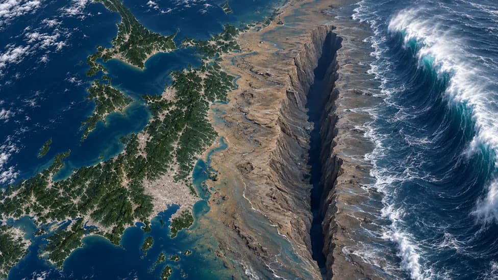
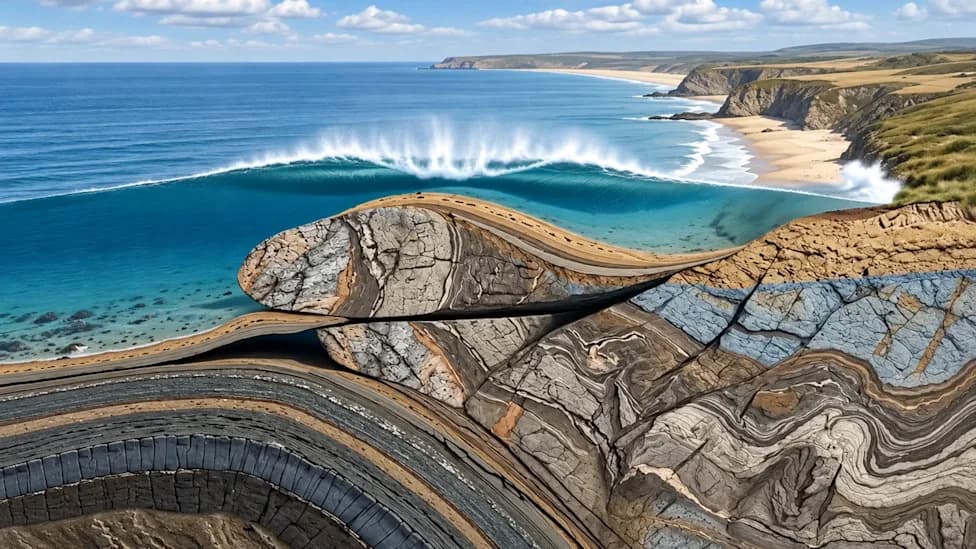
The Puerto Rico Trench — the Atlantic's deepest point at more than 27,000 feet and stretching some 500 miles north of Puerto Rico — sits along a complex plate boundary. NOAA models show a hypothetical magnitude-7.5 earthquake there could generate a tsunami capable of reaching the entire U.S. East Coast, with underwater topography able to focus wave energy. The USGS also warns ancient submarine landslides could produce tsunamis independently. While no catastrophic event is predicted now, the trench remains closely monitored and planners are preparing for the possibility.
Puerto Rico Trench Could Spawn Tsunamis That Reach the Entire U.S. East Coast
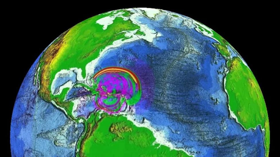
Puerto Rico Trench Tsunami Threat Could Hammer the Entire U.S. East Coast (Video)
More than five miles beneath the Atlantic's surface lies a remote, little-seen feature that scientists monitor closely: the Puerto Rico Trench. As the Atlantic Ocean's deepest point, the trench plunges beyond 27,000 feet (more than 8,400 meters) and stretches roughly 500 miles north of Puerto Rico and the U.S. Virgin Islands.
The trench marks a complex boundary where the North American and Caribbean tectonic plates interact. Unlike the classic subduction zones of the Pacific, this margin is unusual: the plates largely slide past one another, with only limited subduction. Even so, the region has produced powerful earthquakes and destructive tsunamis in the past — most notably the 1918 Puerto Rico earthquake and tsunami that killed dozens.
NOAA has modeled hypothetical earthquake scenarios showing that a magnitude-7.5 event in the trench could generate a tsunami with the potential to propagate along the entire U.S. East Coast. These simulations highlight how underwater topography (bathymetry) can focus and steer tsunami energy, amplifying waves far from their source and concentrating impacts in particular bays and inlets.
Researchers are also studying large submarine landslides mapped along the trench. According to the U.S. Geological Survey (USGS), ancient slope failures recorded on the seafloor indicate that portions of the trench remain unstable — meaning a landslide could trigger a tsunami independently of a major earthquake.
Scientists emphasize that a catastrophic tsunami is not currently forecast as imminent. Nonetheless, the trench is one of the most closely monitored tectonic regions in the Western Hemisphere, and agencies are using models and historical studies to inform warnings, preparedness, and coastal planning.
What coastal communities need to know: tsunami intensity and arrival times vary dramatically with distance, sea floor shape and local coastline features. Some areas could see modest swells, while others — especially enclosed bays and harbors — could experience amplified, damaging surges. Ongoing monitoring, updated hazard maps, public education and evacuation planning remain essential.
Sources: NOAA modeling studies and USGS research; originally reported by Surfer (published Jul 18, 2026). Watch related footage: YouTube short.
Help us improve.