The Great Lakes region, including northern Ohio, could get an early taste of winter as cold Arctic air moves in around Nov. 11–13. The Climate Prediction Center and the NWS in Cleveland warn of a slight risk for lake-effect snow—especially along the Lake Erie shore and higher terrain—with rain/snow likely Sunday night (low around 32°F) and a chance of snow Monday (high near 40°F). La Niña and an easterly QBO help raise the odds of Arctic intrusions and volatile winter weather.
Will Ohio See Its First Snow Next Week? Cold Canadian Air Raises Chance of Early Lake-Effect Snow

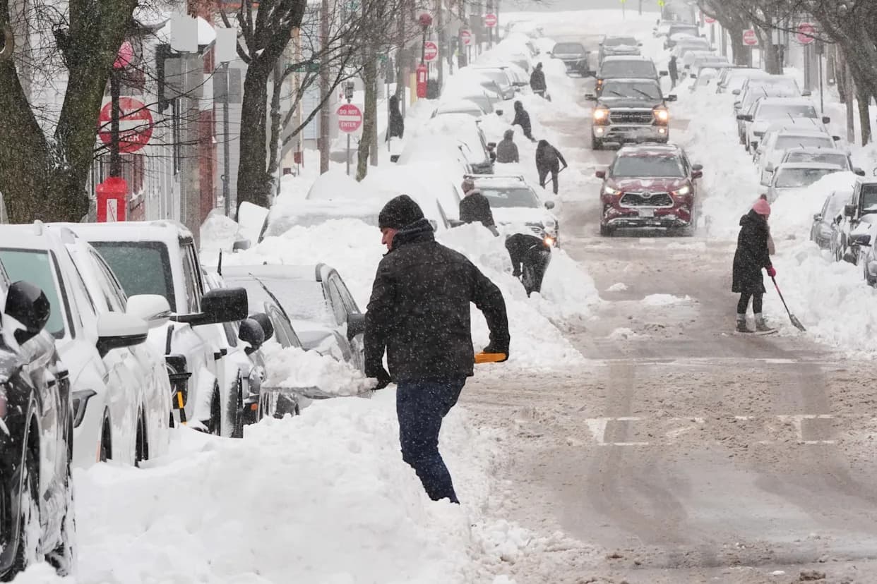
Early Taste of Winter Could Arrive for Ohio
A significant shift in the weather pattern will pull cold Arctic air south from Canada into the Great Lakes region, raising the odds of the season's first widespread freezes and a chance of early lake-effect snow for northern Ohio.
The Climate Prediction Center has flagged a slight risk for lake-effect snow and occasional snow episodes across the Interior Northeast and along the Allegheny Plateau, with a focused window of concern from Nov. 11–13. While modelled totals are modest, measurable snow this early in the season would be notable.
"The cyclonic flow pattern combined with the anomalously cold air also increases the potential for occasional episodes of snow across the Interior Northeast and extending along the Allegheny Plateau, with Lake Effect Snow also possible downwind of Lakes Ontario and Erie."
What forecasters are saying
Forecasters say northern Ohio and communities downwind of Lake Erie may see snow from this weekend into early next week. As of Nov. 4, the National Weather Service in Cleveland lists this outlook:
- Sunday night: Rain and snow showers likely. Mostly cloudy, low near 32°F. Chance of precipitation: 70%.
- Monday: A chance of snow showers. Mostly cloudy, high near 40°F. Chance of precipitation: 50%.
Higher terrain and Lake Erie shoreline communities are most likely to see the season's first measurable accumulations. Lake-effect snow occurs when cold, dry Arctic air moves over a relatively warm lake, producing narrow, persistent bands of snow. Wind direction over the lake is critical: one town can receive heavy snow while an area a mile away stays dry and sunny.
Large-scale drivers: La Niña and the QBO
La Niña conditions are in place and expected to persist through the winter. In the Midwest, La Niña tends to nudge the jet stream northward, often producing warmer, drier conditions across the southern U.S. while leaving northern areas — including northern Ohio — more prone to cold snaps and above-average lake-effect snowfall.
Another factor this winter is the Quasi-Biennial Oscillation (QBO), which is currently in an easterly phase. The QBO is a stratospheric wind pattern that can influence the polar vortex; an easterly QBO may weaken the vortex and make the jet stream more erratic, increasing the chance of deep Arctic intrusions and more volatile winter weather.
What to watch and how to prepare
Residents near Lake Erie and in higher terrain should monitor forecasts closely over the next week. Pay attention to evolving wind directions and lake temperatures: if Lake Erie remains unfrozen later into the season, lake-effect snow events can become more frequent and intense. Even areas in southern and central Ohio can see notable snow during strong cold snaps when storm tracks align.
By Brandi D. Addison, Weather Connect Reporter, USA TODAY Network.
Originally published in the Akron Beacon Journal.
Help us improve.