Airborne LiDAR has exposed 432 geoglyphs beneath the Amazon canopy — nearly 400 newly recorded features — attributed to a pre‑colonial culture researchers call the Aquiry. Combining LiDAR with earlier surveys, the team estimates there may be up to 30,000 structures and suggests the civilisation could have peaked at 1.25–3 million people between 600 BC and AD 850. The discovery challenges the idea of a pristine Amazon and indicates sophisticated planning, agriculture and regional organisation.
LiDAR Uncovers ‘Lost’ Amazon Civilization: Hundreds of Geoglyphs and Roadways of the Aquiry Revealed
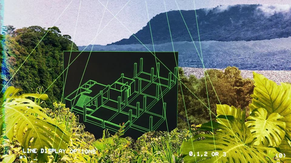
Researchers believe the geometrically patterned structures, known as geoglyphs, were built by an advanced pre-colonial society. | Credit: Illustration by Julia Wytrazek / Getty Images
Airborne LiDAR surveys have revealed hundreds of previously hidden geometric earthworks beneath the Amazon canopy — evidence of a complex pre‑colonial society researchers now refer to as the Aquiry.
New Technology, New Picture of the Past
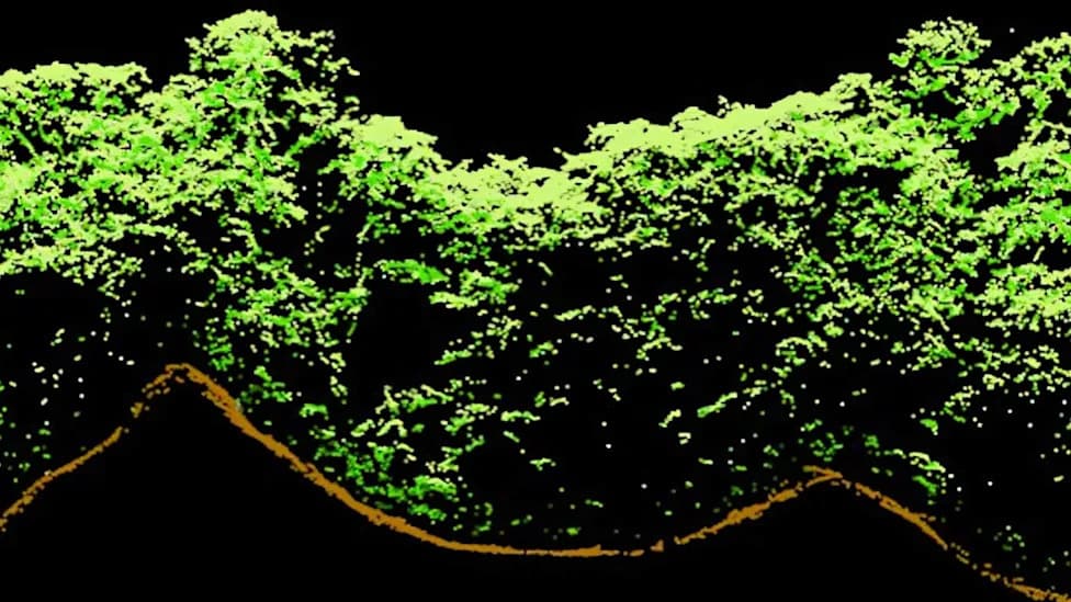
Using light detection and ranging (LiDAR), researchers mapped roughly 1,700 square miles of southwestern Amazonia and identified 432 geoglyphs, about 400 of which are newly recorded by science. Some of the largest enclosures span nearly 50 hectares. Because LiDAR can penetrate gaps in the forest canopy, it creates three‑dimensional terrain models that expose features invisible from the ground or in conventional satellite imagery.
Who Were the Aquiry?
Archaeologists date the constructions to roughly 600 BC–AD 850 and attribute them to a widespread, organized society nicknamed the Aquiry, a name adopted in 2021 by research lead Martti Pärssinen after the Indigenous name for the Acre River. The team combined new LiDAR data with previous surveys and estimates there may be as many as 30,000 structures across Aquiry territory. In a study published in Nature, the authors write the evidence "strongly suggests" a peak population of between 1.25 million and 3 million people.
"It was a common idea that the Amazonian forest was a virgin wilderness, occupied only by small groups of hunter‑gatherers," said Martti Pärssinen. "These earthworks totally change our understanding of the supposedly pristine Amazon."
Scale, Organization, and Lifestyle
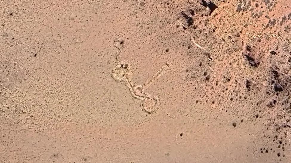
The geoglyphs are geometrically patterned circles, squares and monumental enclosures often connected by straight roadways, implying coordinated planning and organized labor. The researchers estimate an average geoglyph would have required roughly 300 people to construct and maintain. Evidence of agriculture includes cultivation of maize, squash and manioc and management of Brazil nut trees and peach palms. Despite large‑scale landscape modification, the findings suggest the Aquiry did not convert rainforest into savannah but practiced forms of land use compatible with forest ecosystems.
What We Still Don’t Know
The Aquiry left no written records and their dwellings have not survived in a form that is easily visible today, so many questions remain. The civilisation appears to have declined between about AD 850 and AD 1000 for reasons that remain unclear. Indigenous peoples have long known and sometimes venerated some earthworks, and earlier discoveries in Acre in 1977 were revealed when deforestation exposed sites.
Broader Significance
Researchers say the discovery challenges long‑standing assumptions that the Amazon was largely an untouched wilderness before European contact. As LiDAR continues to reveal hidden landscapes across the world, archaeologists are rethinking pre‑colonial urban development, land management, and social complexity in tropical forests.
Sources: Nature, New Scientist, ScienceAlert, LiveScience, The Times, National Geographic.
Help us improve.