Researchers have identified and mapped the East Antarctic Fan‑Shaped Basin Province, a vast buried geologic structure about two miles (≈3.2 km) beneath the East Antarctic Ice Sheet. The province connects Lake Vostok with the Wilkes and Aurora subglacial basins and likely formed through long‑term distributed rotational extension. Because the formation influences subsurface topography, it may affect ice flow, basal melting, and projections of Antarctic contributions to future sea‑level rise.
Colossal Buried Province Two Miles Under East Antarctic Ice Could Rewrite Ice‑Sheet History
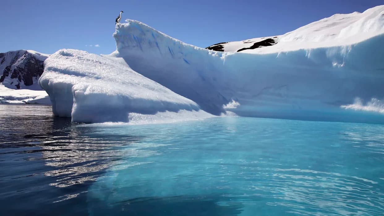
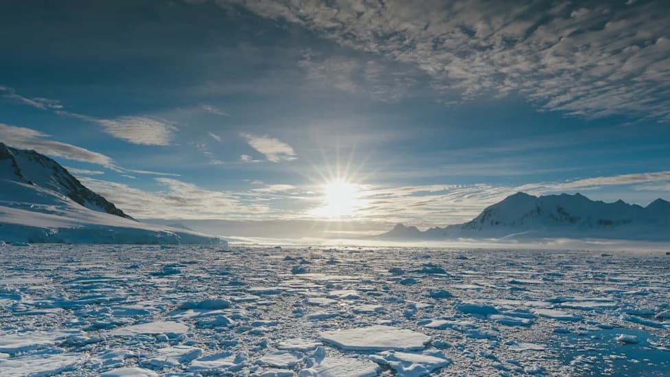
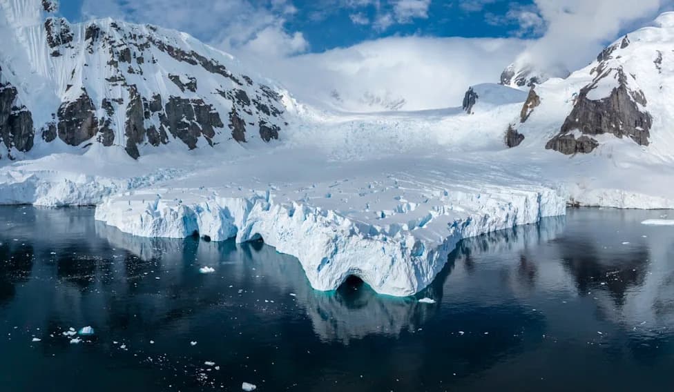
Photo Credit: iStock
Beneath roughly two miles (≈3.2 km) of East Antarctic ice, researchers have mapped an enormous buried geological province that may change how scientists interpret Antarctica's past and predict its future behaviour.
What the team found
The study, published in Nature Geoscience, identifies the East Antarctic Fan‑Shaped Basin Province, a contiguous subsurface formation that links several previously separate subglacial features — most notably Lake Vostok (the world's largest subglacial lake) and the Wilkes and Aurora subglacial basins. The province is among the largest structures of its kind found beneath Antarctic ice.
How they mapped it
To reveal this buried architecture, the researchers combined multiple datasets: field geological observations, gravity measurements that detect mass anomalies below the ice, magnetic survey data, and geophysical crustal models. Integrating these lines of evidence allowed the team to image large-scale structural patterns beneath the ice sheet.
How it formed
The authors interpret the formation as the product of distributed rotational extension — a long‑term tectonic process in which continental crust stretches and rotates outward over millions of years. This mechanism can create broad, fan‑shaped basins and domains of thinned crust consistent with the observed signatures.
Why this matters
The buried province spans a broad region of East Antarctica and therefore likely influences how the overlying ice flows, where basal melting may initiate, and how ice responds to changes in climate and ocean forcing. Because Antarctic ice sheets exert a major control on global sea level, improved knowledge of bedrock geometry and subglacial basins helps refine models of ice dynamics and forecasts of future sea‑level rise.
Better geological constraints reduce uncertainties that can delay adaptation planning. With clearer predictions of how and where Antarctic ice may change, communities and policy makers can more effectively prepare for impacts such as coastal flooding and infrastructure risk.
Bottom line: What lies beneath East Antarctica is not just a scientific curiosity — it is a major factor in how one of Earth’s largest ice masses behaves and how reliably we can predict its contribution to future sea‑level rise.
Help us improve.