Researchers at NCAR developed a statistical forecasting method that may flag Atlantic hurricanes with elevated rapid-intensification risk up to five days in advance. Using NOAA GEFS ensemble forecasts from 2019–2024 and 55 environmental variables, the team applied a logistic regression model to estimate probabilities. Testing showed a roughly five-day practical lead in the Atlantic and about three days in the eastern Pacific. The tool is intended to complement existing models and is being refined with more data and additional forecast systems.
New Forecasting Tool Could Give Up To 5 Days' Warning Of Rapid Atlantic Hurricane Intensification

Photo Credit: iStock
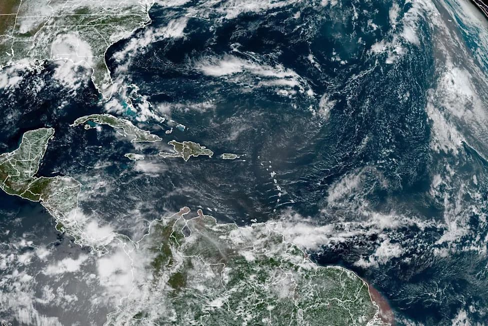
A sudden, dramatic jump in a hurricane's strength just before landfall can rob communities of crucial preparation time. A research team led by Christopher Rozoff at the U.S. National Science Foundation's National Center for Atmospheric Research (NCAR) has developed a statistical forecasting method that may identify Atlantic storms with elevated odds of rapid intensification as many as five days in advance.
How the Method Works
The researchers trained a logistic regression model using ensemble forecasts from the NOAA Global Ensemble Forecast System (GEFS) for the Atlantic and eastern Pacific basins covering 2019–2024. They evaluated 55 variables related to storm structure, ocean temperatures and atmospheric conditions, then calculated the probability a storm will undergo "rapid intensification"—commonly defined by forecasters as a sustained wind increase of 30 knots (about 35 mph) within 24 hours.
Performance and Regional Differences
Testing showed the approach provided the most useful advance warning in the Atlantic, where it flagged heightened rapid-intensification risk up to five days ahead. In the eastern Pacific the practical lead time was closer to three days. The team also found the method can highlight which forecast tracks are most strongly associated with intensification, giving forecasters additional context about how a storm's path may affect its future strength.
Why Extra Lead Time Matters
Even a few extra days of reliable warning can affect decisions by families, hospitals, and emergency managers. Storms that appear manageable at first can quickly escalate into major threats, complicating evacuation planning, resource staging and critical operations at vulnerable facilities.
Real-World Stakes
The researchers point to recent storms to illustrate the consequences of rapid intensification. In 2024 Hurricane Helene was reported to strengthen from a relatively weak tropical storm to a major Category 4 hurricane in roughly two days before impacting parts of Florida and nearby states. In 2017 Hurricane Harvey rapidly intensified before Texas landfall and contributed to catastrophic flooding and estimated economic losses around $160 billion. Forecasters also missed the rapid growth of Hurricane Michael in 2018, which intensified to Category 5 before striking the Florida Panhandle.
"The advantage of this new technique is to provide a tool to forecast rapid intensification even further out," Rozoff said. "There are a variety of ways to strengthen these predictions. The goal is to give forecasters enough information so they have confidence days in advance of when a hurricane is most likely to rapidly intensify."
Next Steps and Limitations
The authors emphasize that the statistical tool is designed to complement—not replace—standard dynamical hurricane models. Next steps include expanding the historical sample, testing the method with additional forecast models, and refining the variables and thresholds used to improve reliability and reduce false alarms. As with all forecasts, uncertainty remains and probabilistic guidance should be used alongside operational model output and expert analysis.
Bottom line: This new approach offers promising extra lead time for identifying storms that could intensify rapidly, potentially giving communities more time to prepare and emergency managers clearer signals for action.
Help us improve.