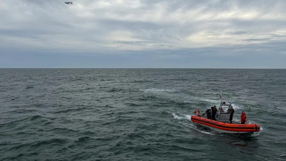
The NTSB's preliminary report confirms military GPS jamming from White Sands Missile Range was active at the altitude and location of a Trans Aero MedEvac Beechcraft King Air 90 that crashed near Ruidoso on May 14, 2026, killing four. The crew lost GPS minutes after takeoff, RNAV approaches were unusable, and ATC — managing multiple jamming‑affected flights — delayed radar vectors. Jamming briefly paused then resumed during descent, and the aircraft impacted terrain about 230 feet below a summit. The incident raises urgent questions about balancing military testing and civil aviation safety.
Was Military GPS Jamming Responsible for the MedEvac Crash Near Ruidoso?
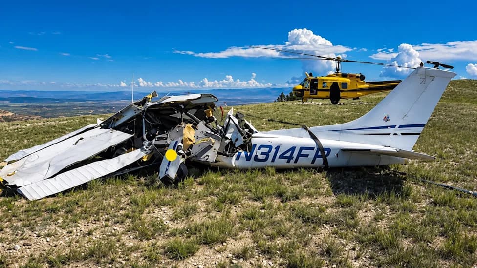
Image: TakingOff Facebook
Four people — two pilots and two medical crewmembers — were killed when a Trans Aero MedEvac Beechcraft King Air 90 struck the Capitan Mountains near Ruidoso, New Mexico, in the early hours of May 14, 2026. The National Transportation Safety Board's (NTSB) preliminary report, released June 18, confirms that military GPS jamming from White Sands Missile Range was active at the altitude and location of the flight. Although the crew had been warned of planned jamming in their ForeFlight preflight briefing, a warning is not the same as being equipped to survive a multilayered systems failure.
Six minutes after departing Roswell Air Center the crew reported to Albuquerque Center that their GPS navigation had failed. RNAV approaches were unusable. The crew requested radar vectors for an ILS approach — a conventional, non‑GPS backup — but Albuquerque Center was already managing several other aircraft affected by the interference and could not provide timely vectors. While waiting, the King Air overshot its intended approach pattern by about 10 miles, compounding a problem that began as a single navigation failure.
What the NTSB Preliminary Report Says
- GPS jamming originated from White Sands Missile Range's routine NAVFEST exercises; these events were coordinated with the FAA and announced in NOTAMs.
- ADS‑B surveillance degraded alongside GPS navigation, reducing ATC situational awareness.
- Air traffic control briefly paused the jamming; during that pause the crew reported Ruidoso in sight and requested a visual approach.
- Jamming resumed during descent; the aircraft struck terrain approximately 230 feet below a summit.
- The NTSB has not yet assigned probable cause; the preliminary report documents the circumstances only.
Night, mountainous terrain, and minimal moonlight created a deadly visual illusion: airport lights visible across some 30 miles can appear reachable while intervening ridgelines remain invisible. Pilots trained to revert to instruments found themselves without reliable satellite navigation, and when the crew transitioned to a visual approach they followed instinct — an instinct that can lead to CFIT (controlled flight into terrain) when the ground is unseen.
"Air travel is still very safe, but it may be stuck for the next five years or more in a mild-and-increasing risk situation as we confront ever more GPS interference." — Todd Humphreys, GPS expert (quoted in Wired)
Civil aviation's growing dependence on satellite navigation means that a mid‑flight GPS loss at night over mountains can cascade into a workload and systems crisis no single backup was designed to absorb. Medevac operations already carry higher accident risk than scheduled airline flights, according to Wired; add an overtaxed ATC sector and unforgiving terrain and the result is a system that functioned "as designed" until it did not.
The military followed published protocols: NOTAMs were issued, the FAA was coordinated with, and jamming was paused on request. Nonetheless, four people died. Defense officials emphasize that exercises were announced and coordination occurred; aviation safety analysts argue technologies used to counter drones and threats must be more "surgical, not a sledgehammer," as Kris Brost of Robin Radar Systems told Wired. Blanket GPS denial over shared airspace risks treating civil aircraft as collateral damage — a tradeoff many experts say needs re‑examination.
The NTSB will eventually assign probable cause, likely citing multiple contributing factors rather than a single root cause, as is common in aviation investigations. What the final report cannot settle is the tougher question: will these deaths prompt a genuine reassessment of how military testing schedules intersect with civil airspace, and what changes will the FAA recommend to better protect pilots, medevac operators, and the flying public?
Sources: NTSB preliminary report (June 18, 2026); reporting in Wired.
Help us improve.