The 6.8-magnitude earthquake that struck Kumamoto Prefecture on Tuesday was unusual because it stemmed from shallow, onshore faulting rather than the offshore subduction zones that typically produce Japan’s largest quakes. USGS data point to shallow strike‑slip faulting, while other analyses suggest thrust-style rupture within the upper Eurasian plate. Because the event was shallow and close to populated areas, shaking and damage were severe. Experts say field surveys and repeated satellite radar scans are needed to confirm the exact faults and depth involved.
Why the 6.8-Magnitude Kumamoto Quake Was Unusual — Shallow, Onshore Faulting Caused Severe Local Damage
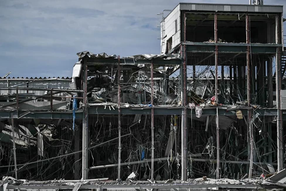
Why the Kumamoto earthquake is unusual compared to most tremors that hit Japan
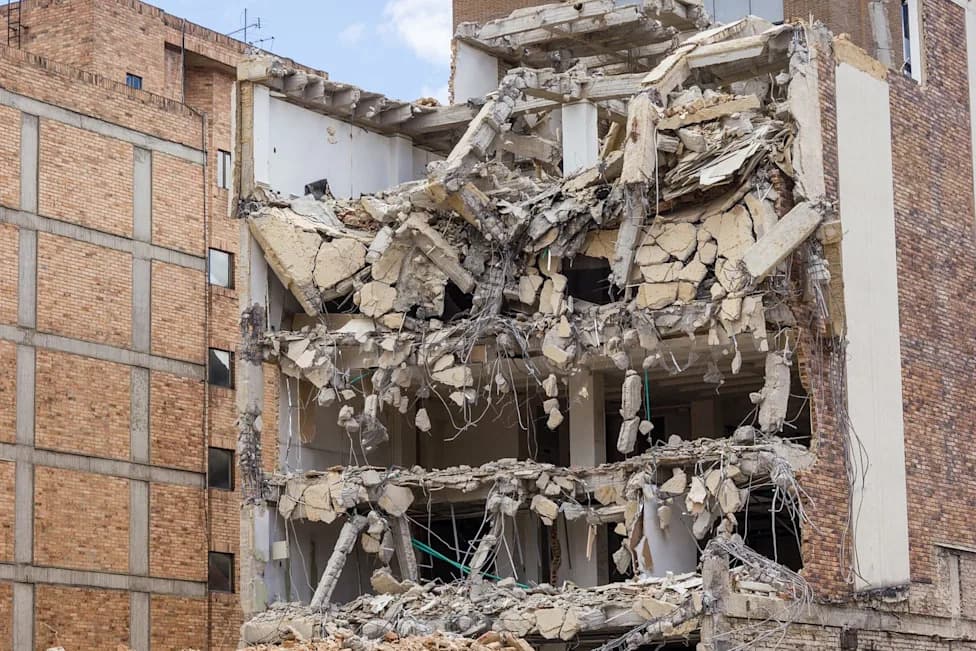
The devastating 6.8-magnitude earthquake that struck Kumamoto Prefecture on Kyushu on Tuesday killed 13 people and injured hundreds, and it resulted from a relatively uncommon form of inland seismic activity, scientists say. The tremor, which hit at about 4:27 p.m. local time, caused severe shaking across populated areas and locally catastrophic damage — including a partial collapse of the second floor of a mall in Kashima that trapped shoppers.
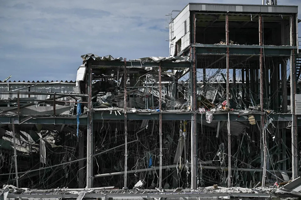
A general view shows damage to part of the Aeon Mall Kumamoto in Kashima, Kumamoto Prefecture (AFP/Getty)
What Made This Quake Unusual
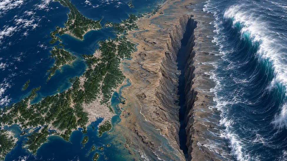
Japan’s largest, most destructive earthquakes typically originate offshore along major subduction zones, where one tectonic plate dives beneath another and can trigger enormous quakes, volcanic activity and tsunamis. This event, however, appears to have been driven by shallow onshore faulting.
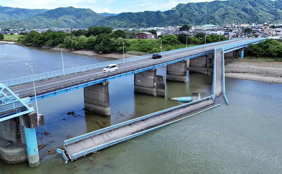
A drone view shows a damaged bridge after an earthquake with a magnitude of 7.1 struck Japan's southern Kumamoto Prefecture, in Yatsushiro (Reuters)
Technical Observations
Seismologists at the U.S. Geological Survey (USGS) reported that the event involved shallow strike‑slip faulting. Other analyses have described thrust-style motion within the upper Eurasian plate — a compressive movement in which one block of rock moves up and over another. The shallow focal depth means ground shaking was concentrated near population centers, increasing damage despite the quake being smaller than the great subduction megathrust events.
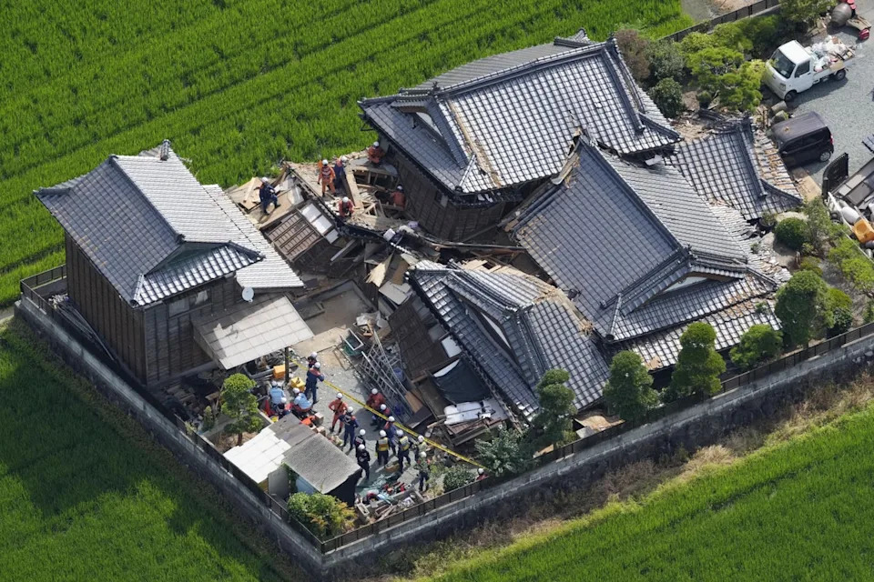
This aerial image shows rescuers working at the house collapsed by an earthquake (AP)
“These earthquakes are smaller than the great subduction events, but because they are closer to population centres, they can cause severe shaking in the places that matter most,” write seismologists Judith Hubbard and Kyle Bradley in their newsletter Earthquake Insights.
Location And Tectonic Context
Researchers say the epicentre was within Kumamoto Prefecture on Kyushu, several hundred kilometres northwest of the Ryukyu Trench — where the Philippine Sea plate begins to subduct beneath Japan. The USGS notes the seismic rupture likely occurred within the upper Eurasian plate. At this margin the Philippine Sea plate converges on the Eurasian plate at roughly 58 mm per year, contributing to complex stress patterns on inland faults.
Why Final Details Will Take Time
Seismologists caution that identifying the exact fault strands and precise rupture depth requires direct field surveys, aftershock mapping and repeated satellite radar (InSAR) observations. Inland Japan contains a dense, complex network of shallow faults; large ruptures can activate multiple strands over a wide area, complicating rapid attribution.
What To Watch Next: Authorities and researchers will continue search-and-rescue and damage assessments, collect field data, and use satellite radar to map ground deformation. Those findings will clarify which faults ruptured and how the shaking pattern developed.
Help us improve.