NASA, in partnership with the Naval Research Laboratory and JPL, will fly ER-2 and WB-57 research aircraft into wildfire-generated pyrocumulonimbus storms this summer under the INSPYRE campaign. The missions — two 6–8 week campaigns over the western U.S. and Canada — will gather real-time airborne and ground-based radar data to improve forecasting of smoke-driven storms that can produce intense lightning and fire whirls. Better observations aim to help emergency managers and firefighters respond faster as climate change increases wildfire risk.
NASA Will Fly ER-2 and WB-57 Research Aircraft Into Wildfire-Driven Storms This Summer to Improve Forecasts
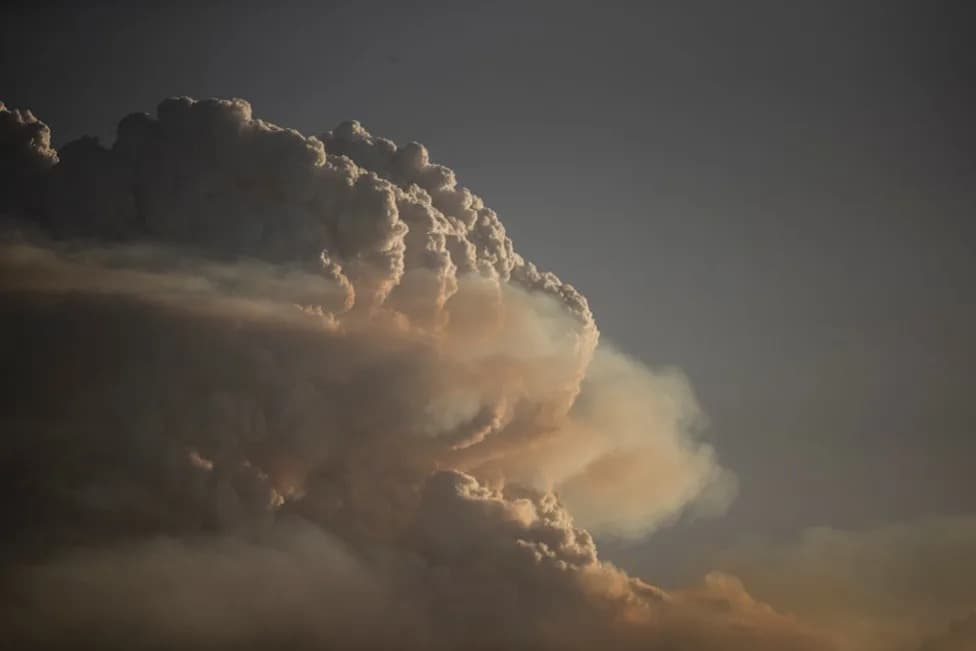
NASA is flying planes into wildfires to try and figure out how they make their own thunderstorms
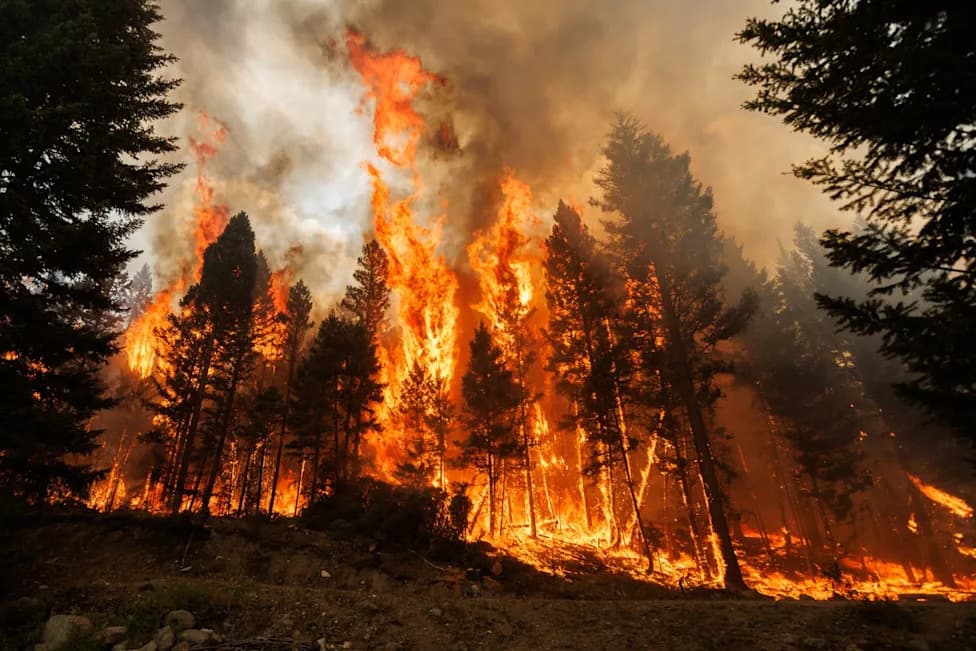
NASA will send high-altitude research aircraft into storm systems spawned by large wildfires this summer to collect real-time data and improve forecasting of these dangerous events. The effort, part of the Smoke and PYRocumulonimbus Experiment (INSPYRE), aims to better understand how wildfire smoke helps create powerful pyrocumulonimbus clouds that can trigger intense lightning, loft smoke high into the atmosphere, and even produce rotating fire whirls or "firenadoes."
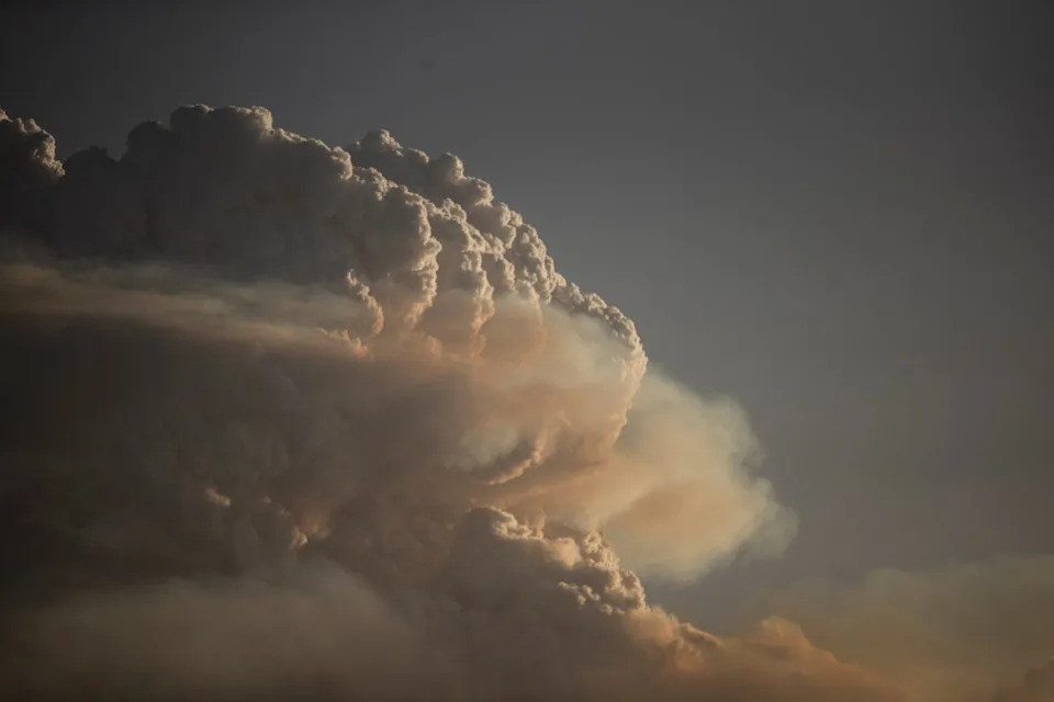
A pyrocumulonimbus cloud is generated by the Orroral Valley bushfire in Australia in January 2020. NASA is hoping to better understand these dangerous clouds by sending planes into fire storms in real-time (Getty Images)
What the Campaign Will Do
The INSPYRE campaign, led by the U.S. Naval Research Laboratory and conducted with NASA support, will operate ER-2 and WB-57 research aircraft from Montana. Each aircraft will carry specialized instruments — including infrared wildfire trackers developed at NASA's Jet Propulsion Laboratory (JPL) — to observe how smoke, heat and moisture interact during active fire events.
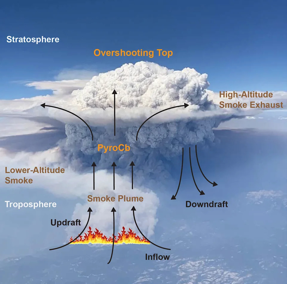
This graphic image shows how smoke from a wildfire helps moisture in the atmosphere condense into a cloud known as a pyrocumulonimbus (NASA's Earth Science Project Office)
Researchers plan at least two flight campaigns, each lasting about six to eight weeks, focusing on the western United States and parts of Canada. Each campaign will include more than a dozen science flights, coordinated with ground-based radar and other remote-sensing systems deployed to capture the storms from multiple perspectives.
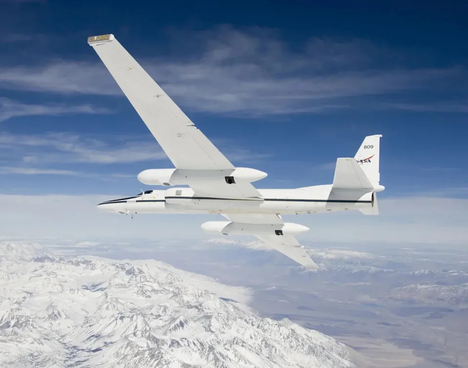
NASA operates two Airborne Science ER-2 aircraft, seen here, for a wide variety of environmental science, atmospheric sampling and satellite data verification missions (NASA/Carla Thomas)
Why This Matters
Pyrocumulonimbus clouds form when intense wildfire heat and rising smoke cause atmospheric moisture to condense and rapidly develop storm clouds. These smoke-driven storms complicate firefighting operations and can threaten communities both nearby and far downwind by producing prolific lightning, producing long-range smoke transport, and generating violent fire whirls.
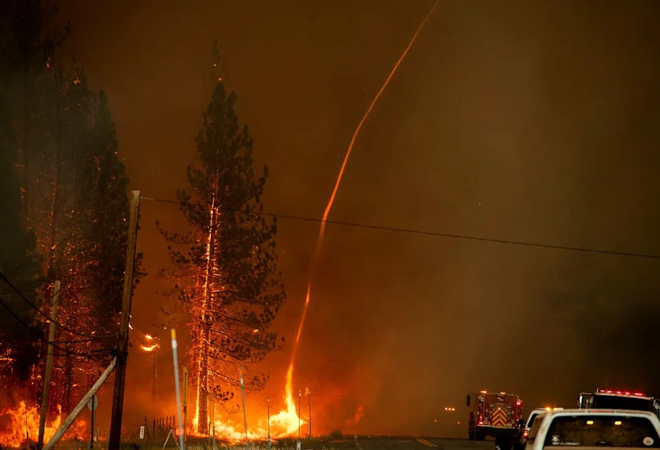
A fire whirl – or firenado – shoots into the sky amid the Hog fire in Susanville, California, in July 2020 (AFP via Getty Images)
"Measuring and mapping the dangerous storms as they develop in real-time will help scientists forecast them in the future," NASA's Jet Propulsion Laboratory said in a statement.
Improved observations and models could provide earlier warnings for emergency managers and firefighters, potentially saving lives and reducing property damage. The work is especially urgent as climate change increases the frequency and intensity of conditions that favor large wildfires.
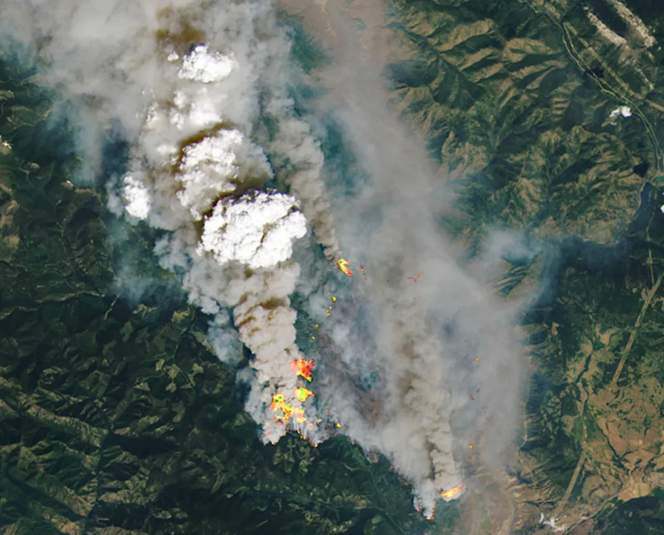
White pyrocumulonimbus clouds generated by the 2021 McKay Creek fire in British Columbia are seen in this NASA satellite image (NASA/Landsat 8)
Context and Current Conditions
Canada has experienced an especially active fire season this year, with more than 900 individual blazes and smoke plumes that have degraded air quality in major U.S. cities. In the United States, large fires have scorched roughly 1,457,545 acres so far this year, according to the National Interagency Fire Center. Fire activity and smoke are expected to rise as the peak fire season in much of the U.S. typically begins in August.
By combining airborne observations from ER-2 and WB-57 with ground-based radar and satellite data, INSPYRE investigators hope to close critical knowledge gaps about pyrocumulonimbus formation and behavior — and to translate that understanding into better operational forecasts and warnings.
Where This Fits: The campaign links academic and government researchers, advanced airborne sensors, and operational forecasting efforts to tackle a hazard that is becoming more frequent and severe in a warming world.
Help us improve.