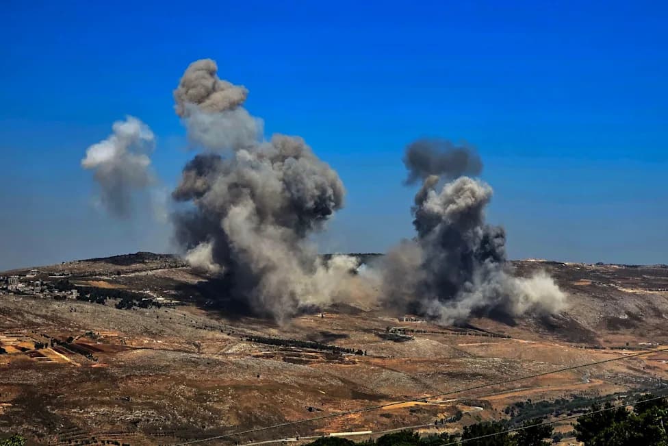
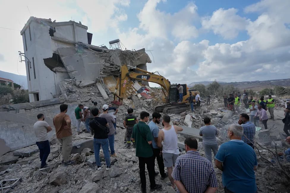
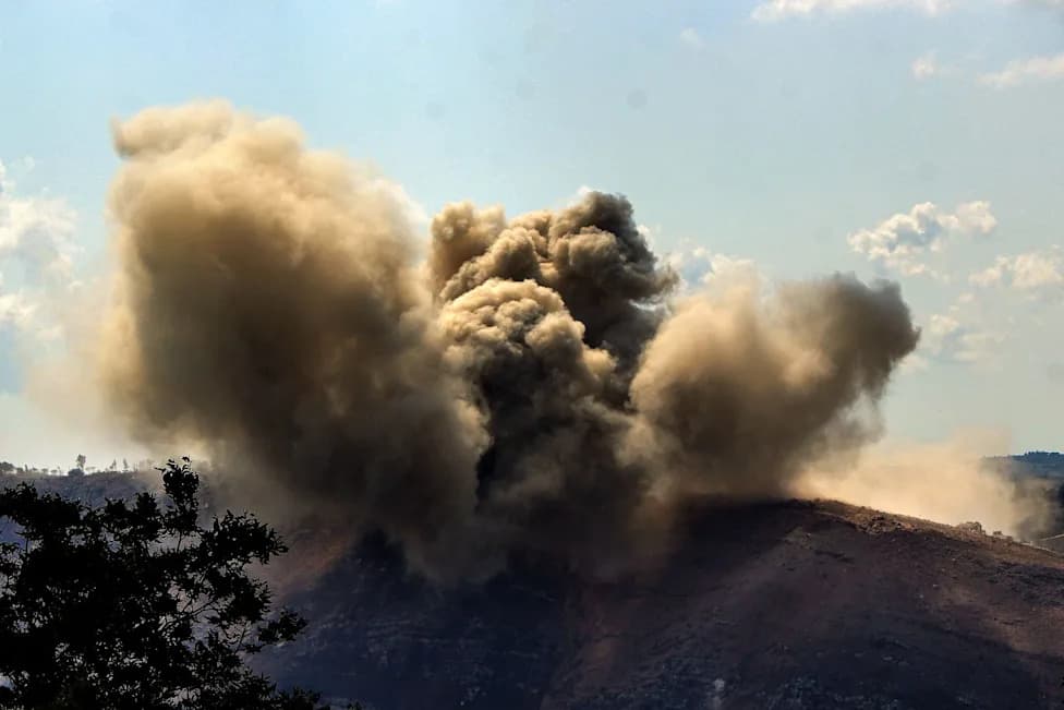
Al Jazeera Arabic’s satellite and open‑source analysis maps a concentrated campaign of destruction in southern Lebanon, with Bint Jbeil particularly devastated. Investigators geolocated 14 videos from April 16–24 and found 93% of documented demolitions in Nabatieh governorate; local officials estimate over 70% of Bint Jbeil destroyed and about 3,000 housing units levelled. Authorities and legal experts warn the pattern may aim to create a depopulated buffer zone, while allegations of incendiary munitions and damage to critical infrastructure raise international law concerns.
Mapping the Ruins: How Satellite Evidence Shows Bint Jbeil Devastated in a Systematic Campaign
(Al Jazeera)
In the historic centre of Bint Jbeil stood a Great Mosque more than 400 years old. Today it lies in rubble alongside what investigators say are more than 1,500 buildings destroyed during an expanding Israeli military campaign in southern Lebanon.
Investigation and Methods
Al Jazeera Arabic’s fact‑checking team used satellite imagery, aerial data and open‑source verification to geolocate 14 videos published between April 16 and 24. The visual investigation maps a pattern of concentrated demolitions across the Nabatieh governorate and particularly within the Bint Jbeil district.
What the Data Shows
The team reports that 93% of the documented demolitions (13 of 14 incidents) occurred in Nabatieh governorate, with roughly half of the blasts focused in the Bint Jbeil district. Investigators say whole blocks in the towns of Bint Jbeil, Beit Lif and Ainata were flattened. One major demolition was recorded farther west in the coastal town of Naqoura.
Aerial and satellite imagery up to late April indicates a dramatic reduction of Bint Jbeil’s urban footprint. Local authorities estimate that more than 70% of the city has been destroyed and a further 20% partially damaged—affecting over 90% of the urban area. Approximately 3,000 housing units have reportedly been levelled, concentrated in the commercial centre and the city’s oldest neighbourhoods, including Ain al‑Saghira and the Old Mosque Quarter.
Infrastructure, Agriculture and Allegations
Destruction reportedly extends beyond homes to power stations, water networks, schools and hospitals, with Salah Ghandour Hospital among those damaged. Mayor Mohammad Bazzi and local officials have also alleged that agricultural land was razed and that incendiary munitions and white phosphorus were used on farmland—allegations that, if confirmed, raise serious concerns under international humanitarian law.
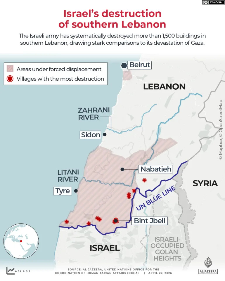
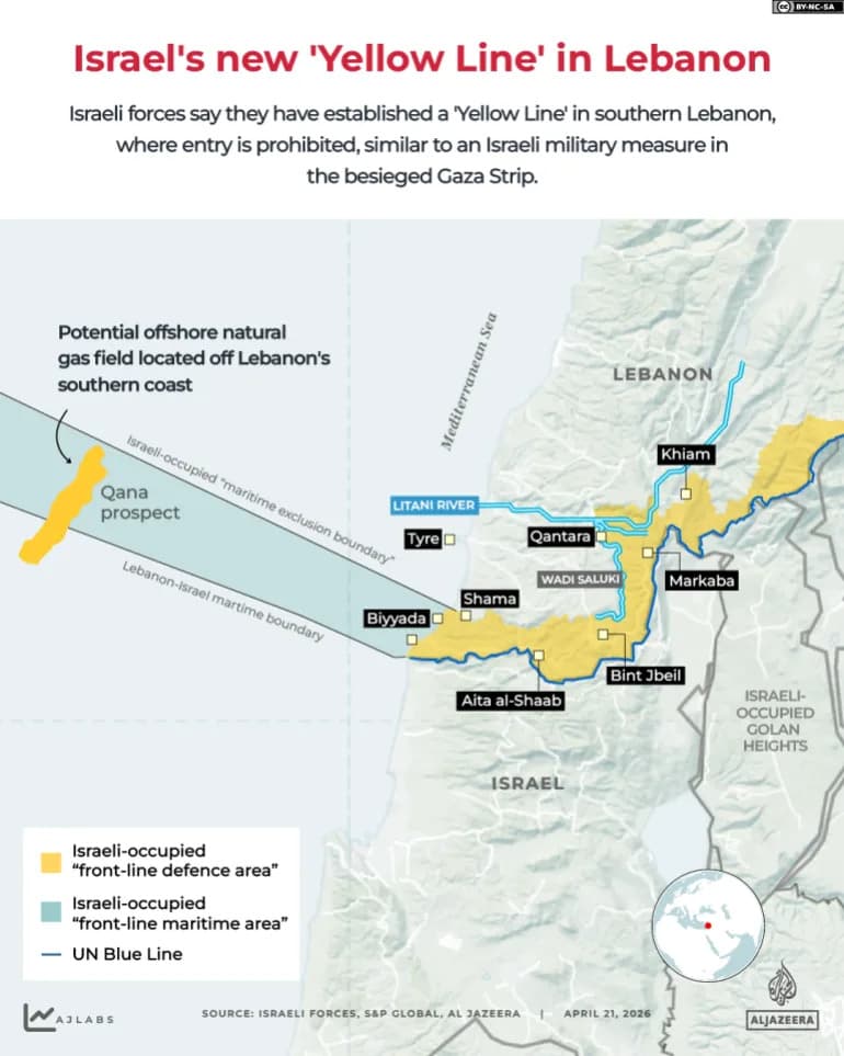
INTERACTIVE - Israel south lebanon bint jbeil map-1777363494
Military Rationale and Statements
Israel says it seeks to create a buffer zone in southern Lebanon to prevent attacks by Hezbollah. Israeli military communications emphasise the strategic value of high ground around Bint Jbeil and Maroun al‑Ras overlooking Israeli settlements and approaches.
Translation of an Israeli Post By The 98th Division Commander: "There was someone here who spoke with hatred and boasted about threads and spiders. Today, that man no longer exists, nor does the stadium, and his words are worth nothing. Bint Jbeil 2024: Our forces control the area, destroy terror infrastructure and terrorists."
The Israeli military announced the encirclement of Bint Jbeil as part of "Operation Northern Arrows," saying the objective is to neutralise anti‑tank missile threats and push back Hezbollah’s Radwan Force. Reports indicate multiple Israeli divisions operating to dismantle suspected surface and subterranean infrastructure.
Responses and Humanitarian Impact
Hezbollah released a video warning it will resist any attempt to establish a permanent security belt and reminded audiences of its missile, drone and rocket capabilities. Local estimates put the number of displaced families from Bint Jbeil at roughly 2,000; residents describe the loss of homes, heritage sites and livelihoods as profound even as many say they remain determined to remain connected to their land.
Legal experts, analysts and local officials warn that a pattern of targeted destruction aimed at civilian areas could amount to attempts to render territory uninhabitable—an outcome with severe humanitarian and legal implications. International observers and humanitarian organisations have been urged to scrutinise these allegations and provide aid to displaced populations.
What Remains Unresolved
Some claims in this report—such as the precise use of specific munitions or intentions behind military planning—are based on local testimony, military communications and open‑source analysis and may require further independent verification. The investigation highlights clear damage patterns but also calls for on‑the‑ground documentation and impartial inquiry to establish responsibility and potential violations of international law.
Help us improve.