The EPA's 2026 air-toxics data release no longer includes the modeled cancer-risk estimates that accompanied those datasets for more than 20 years, leaving only raw emissions and concentration figures. Risk estimates produced by the Air Toxics Screening Assessment since 2002 helped communities and researchers identify local cancer hazards from chemicals like ethylene oxide, benzene and formaldehyde. Without those processed estimates, residents must interpret complex raw data, hindering environmental-justice efforts and local accountability. Researchers and advocates are creating unofficial copies of tools such as EJScreen to preserve community access to pollution-burden information.
EPA Removes Public Cancer-Risk Estimates From Air-Toxics Data, Leaving Communities in the Dark
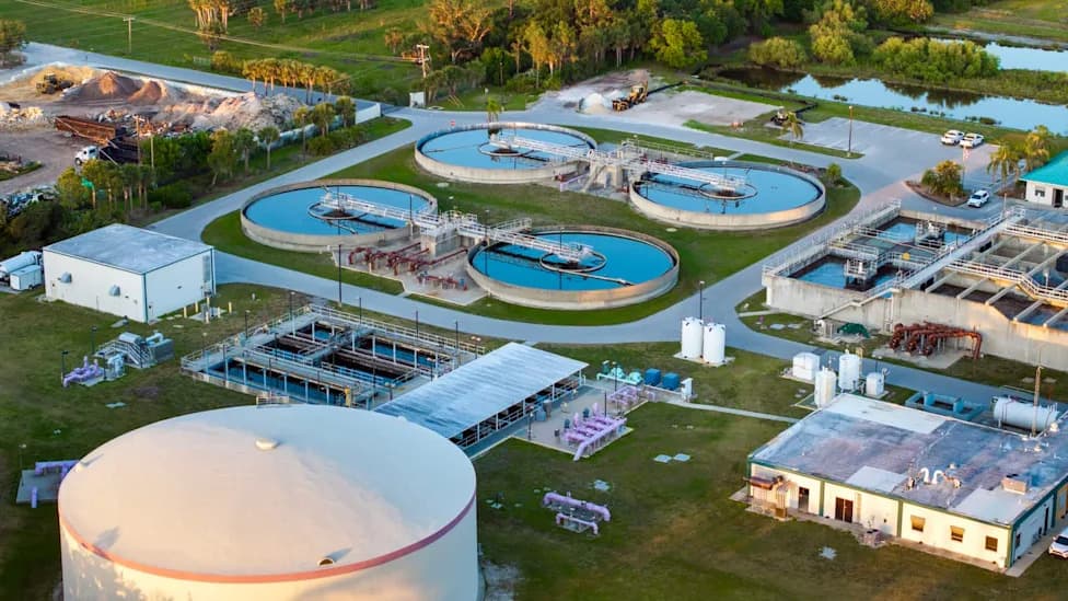
Photo Credit: iStock
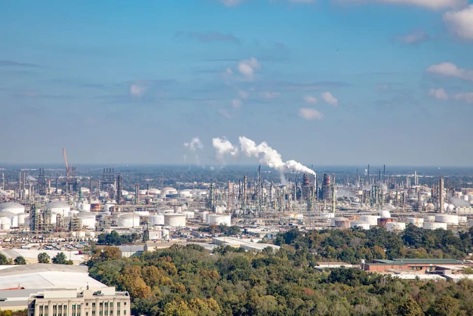
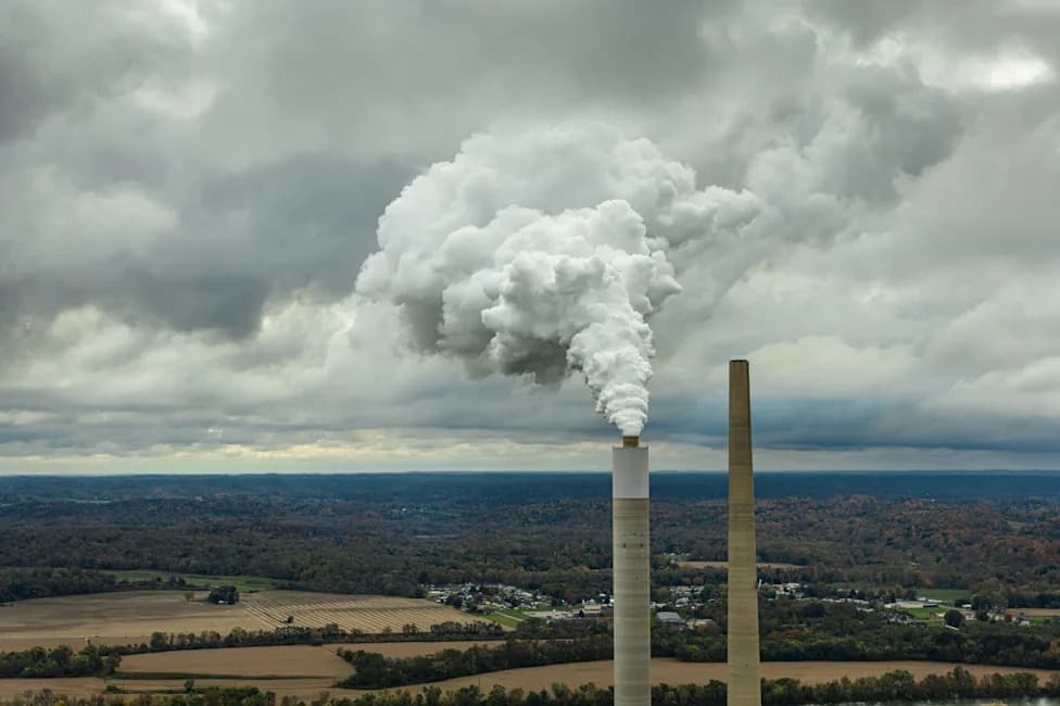
Communities near sterilization plants, refineries and other industrial sites have long relied on an Environmental Protection Agency dataset that translated toxic air emissions into estimated cancer risk. In its 2026 data release the EPA continues to publish raw emissions and concentration figures for hazardous air pollutants, but it no longer provides the modeled cancer-risk estimates the agency had made public for more than two decades.
What Changed
The EPA’s Air Toxics Screening Assessment (ATSA), produced since 2002, used to provide modeled cancer-risk estimates down to the census-block level. Those estimates helped residents, researchers and advocates identify community-level cancer risks from pollutants such as benzene, formaldehyde and ethylene oxide. The 2026 release omits those modeled risk values and leaves only raw emissions and concentration data.
Why This Matters
Computed risk estimates translate complex atmospheric modeling into an understandable measure: the additional lifetime cancer risk from local air toxics. Without them, community members must interpret raw tables of emissions and concentrations, a task that requires technical expertise many residents and local groups do not have. That change makes it harder to spot local risk hot spots and to build evidence for regulatory or legal action.
Real-World Impacts
Analyses that relied on past EPA risk estimates have produced influential findings. For example, a 2023 Union of Concerned Scientists analysis using EPA data mapped ethylene oxide emissions from sterilization plants and found that more than 14 million people live within 5 miles of those facilities. The study also identified 23 sterilization plants emitting ethylene oxide at levels previously linked with elevated cancer risk.
Communities already recognized as pollution hot spots—Louisiana’s "Cancer Alley," neighborhoods around the Houston Ship Channel and the southeast side of Chicago—stand to lose vital, easy-to-use tools for understanding and responding to localized hazards.
Responses From Researchers and Advocates
Researchers, environmental groups and community advocates are scrambling to preserve access to federal tools that are being removed or altered. Unofficial copies of resources such as EJScreen are appearing to allow continued comparisons of pollution burdens and help identify local risks.
Tai Lung, former EPA EJScreen lead and now a senior advisor on federal data policy at the Federation for American Scientists, told reporters: "So now we're just sharing this raw data, which really means nothing to anybody."
Groups such as Air Alliance Houston and Moms Clean Air Force continue to support frontline communities, but advocates say missing federal risk estimates make that work slower, more technical and less accessible. "The public deserves to have that information about that risk so that they can be equipped to push back. We're trying to protect people. It's not just a math equation," said Elizabeth Bechard, public health manager at Moms Clean Air Force.
Broader Context
Observers frame the removal of modeled risk values as part of a larger retrenchment in federal environmental transparency and tools. Reporters have noted that various environmental webpages and datasets were altered or removed in recent years, prompting concern that decisions at the federal level are making it harder to track and address toxic exposures.
The immediate effect is practical: without clear, current risk estimates, residents and local advocates lose an essential, accessible tool for understanding cancer risks and for mobilizing demands for stronger pollution controls and accountability.
Help us improve.