Three teenagers were rescued after following printed Google Maps directions on the 17.1‑mile Howe Sound Crest Trail in British Columbia. Google Maps estimated the walk at about five hours, but the difficult route typically takes 12–14 hours and includes roughly 8,264 ft of elevation gain. One hiker suffered a tailbone injury in a 3‑meter fall and was airlifted; others experienced cramps and dehydration. Rescue teams urge using dedicated hiking apps (AllTrails, Gaia GPS, Granite, Avenza) and downloading maps for offline use.
Teens Rescued After Relying on Google Maps for 17.1‑Mile Howe Sound Crest Trail — Why Trail Apps Matter
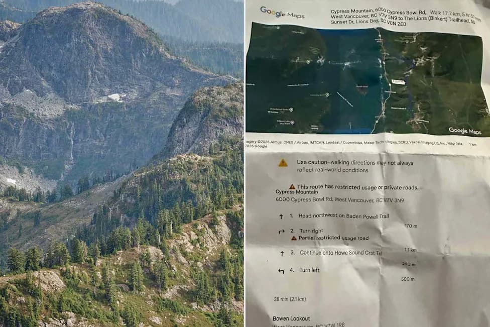
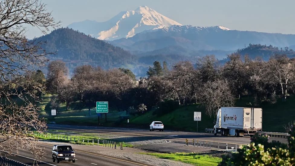
Howe Sound Crest Trail; printed Google Maps instructions used by the stranded hikersCredit: google, Lions bay search and rescue
Three teenagers attempting the challenging 17.1‑mile Howe Sound Crest Trail in British Columbia were rescued after relying on printed Google Maps directions that significantly underestimated the route.
The incident occurred on July 14 at about 10 p.m., Lions Bay Search and Rescue (LBSAR) said. The party included two 17‑year‑olds and one 18‑year‑old. According to LBSAR training officer and search manager Maria Masiar, the hikers expected a much shorter trek and did not carry enough food or water.
How The Hike Unfolded
As the group progressed they developed severe leg cramps and dehydration. Night fell while they were turning back, and one hiker slipped about 3 meters, injuring his tailbone. He was unable to continue and was airlifted by helicopter using a hoist. Earlier in the outing he had experienced multiple smaller slips and cramping.

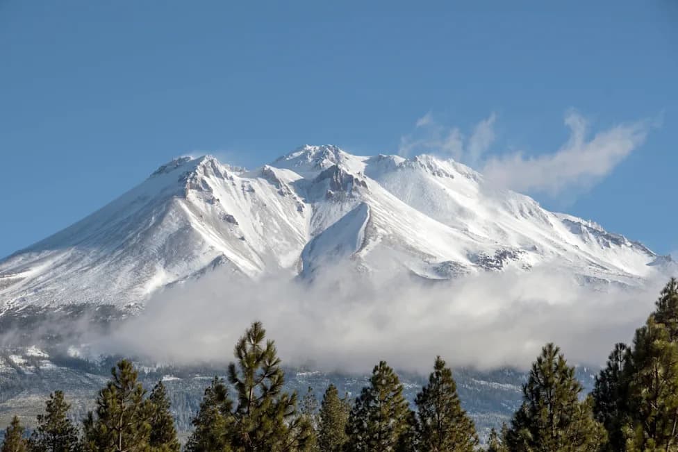
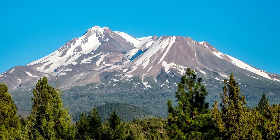
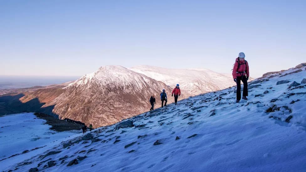
The Howe Sound Crest Trail in British Columbia, CanadaCredit: getty
Why Google Maps Wasn’t Enough
“Please don't let Google Maps convince you that a serious hike is just another afternoon walk,”
LBSAR posted photos of the printed Google Maps directions the teens were using and warned the app “severely underestimated” the journey. Google Maps gave an ETA of just over five hours, while LBSAR stresses that the steep, strenuous Howe Sound Crest Trail more realistically requires 12–14 hours to complete.
Rescue officials noted that Google Maps walking navigation is designed for streets and city routes and does not account for mountain‑specific challenges such as elevation gain, sustained alpine terrain, route finding, scrambling sections, loose rock and frequent ups and downs. These omissions affect important decisions like departure time and how much food, water and gear to pack.
Expert Advice And Safety Tips
A Google spokesperson told PEOPLE: "Walking navigation on Google Maps is designed for streets — we calculate ETAs based on standard walking speeds and show clear warnings that conditions may vary. We encourage hikers to use trail maps and apps designed specifically for hiking."
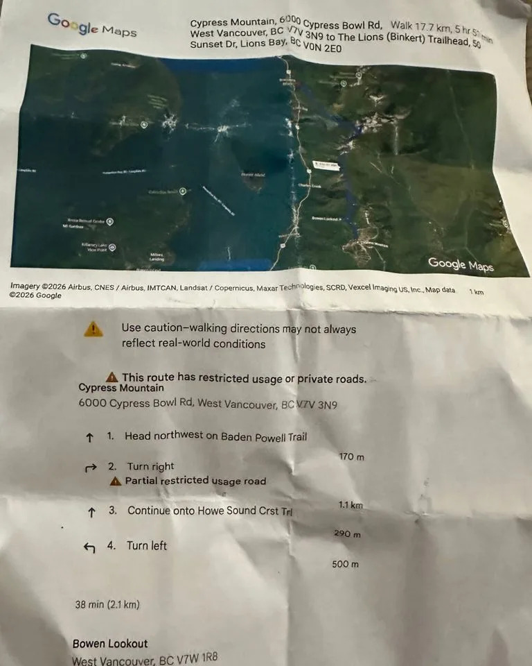
The printed Google Maps instructions used by the stranded hikersCredit: Lions Bay Search and Rescue
LBSAR recommends using dedicated trail apps such as AllTrails, Granite, Gaia GPS and Avenza Maps, and to choose apps that allow offline map downloads when heading outside cellular coverage. They also urge hikers to:
- Check the weather and plan for alpine conditions, where snow and severe weather can persist into summer;
- Carry sufficient food, water, layers, and emergency gear;
- Allow plenty of time — many parties complete the 17.1‑mile, ~8,264‑ft elevation route over multiple days;
- Know basic route‑finding and avoid relying solely on street navigation tools for backcountry travel.
The Howe Sound Crest Trail is celebrated for its scenic views but is considered one of the region’s most demanding hikes, with about 8,264 feet of elevation gain and exposed alpine sections where conditions can change rapidly.
Takeaway: Street navigation apps are useful in towns but inadequate for serious mountain routes. Use purpose‑built trail maps and safety planning before attempting backcountry hikes.
Help us improve.