Aerial footage from Spain's Guardia Civil and the Spanish Air and Space Force exposes the scale of the La Mierla wildfire in Guadalajara, north of Madrid. The blaze has burned for six days despite an operation involving more than 600 firefighters and troops, backed by 29 aircraft. Officials estimate 26,000–30,000 hectares scorched and about 1,200 residents evacuated as crews continue containment efforts.
Aerial Footage Reveals Scale of La Mierla Wildfire Near Madrid
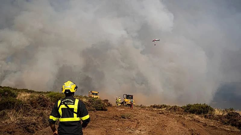
Aerial footage reveals the scale of Spain’s La Mierla wildfire
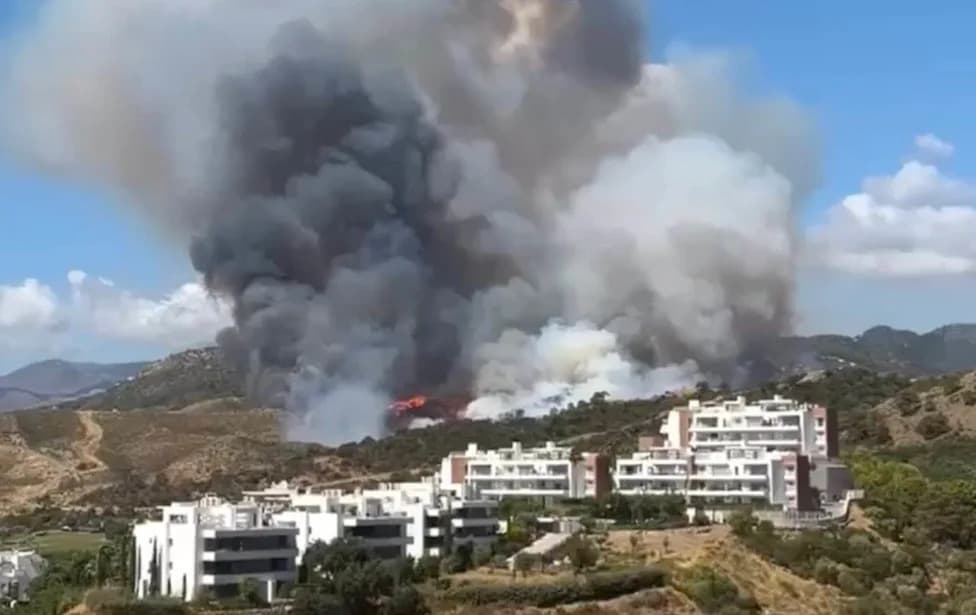
Aerial footage released by Spain's Guardia Civil and the Spanish Air and Space Force reveals the full extent of the La Mierla wildfire in Guadalajara, north of Madrid.
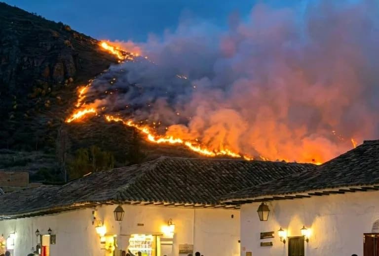
Thick plumes of smoke rise above hillsides scorched by flames as helicopters and aircraft circle the blaze, providing stark images of one of Spain's largest wildfires this summer. The fire has been burning for six days despite a large-scale response involving more than 600 firefighters and military personnel, supported by 29 aircraft.
Officials say the incident is among the most challenging wildfires they have confronted. Authorities report that between 26,000 and 30,000 hectares have been burned so far, and around 1,200 residents have been evacuated while crews continue containment and suppression efforts.
Local impact and response:
- Extensive aerial operations are being used to map the blaze and coordinate firefighting efforts.
- Evacuations and road closures have been implemented to protect communities north of Madrid.
- Authorities continue to monitor the situation and have not yet declared the fire under full control.
“The terrain and scale make this fire particularly complex,” officials said, emphasizing continued caution as crews work to protect lives and property.
Help us improve.