Copernicus satellite images from Wednesday and Thursday show brownish streaks about 20 km off Iran's coast near the Strait of Hormuz that experts say are highly likely to be oil slicks. Analysts from CLS, the Conflict and Environment Observatory and SkyTruth all pointed to oil-like morphology, though satellite images alone cannot prove composition or source. Two slick tracks start where the tankers Riesco and Kylo last transmitted signals before being struck and sunk in early September, and the US military says it destroyed five tankers in the Gulf of Oman in response to attacks on a US warship. Lighter fuels could evaporate in three to four days, while crude oil would remain much longer.
Satellite Images Show Probable Oil Slicks Near Strait of Hormuz After US Strikes
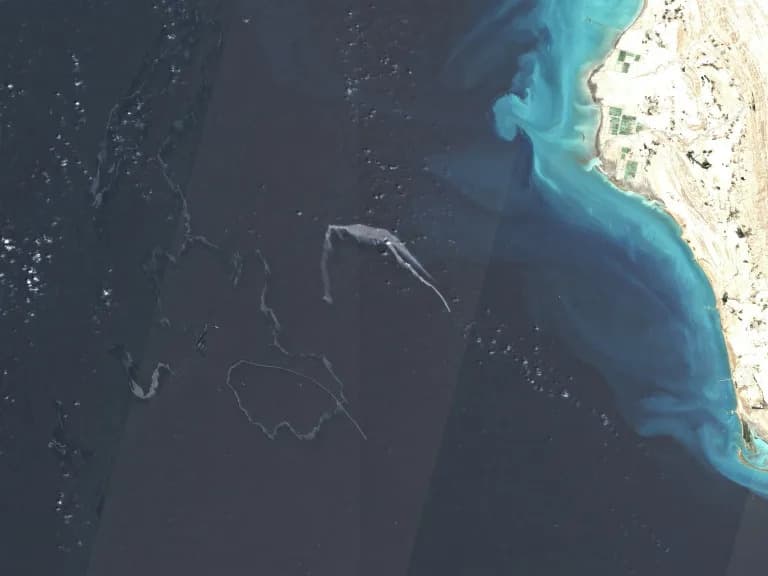
Copernicus images indicated possible oil slicks after US strikes on tankers in the Strait of Hormuz (-)
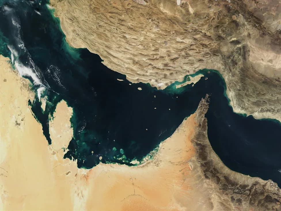
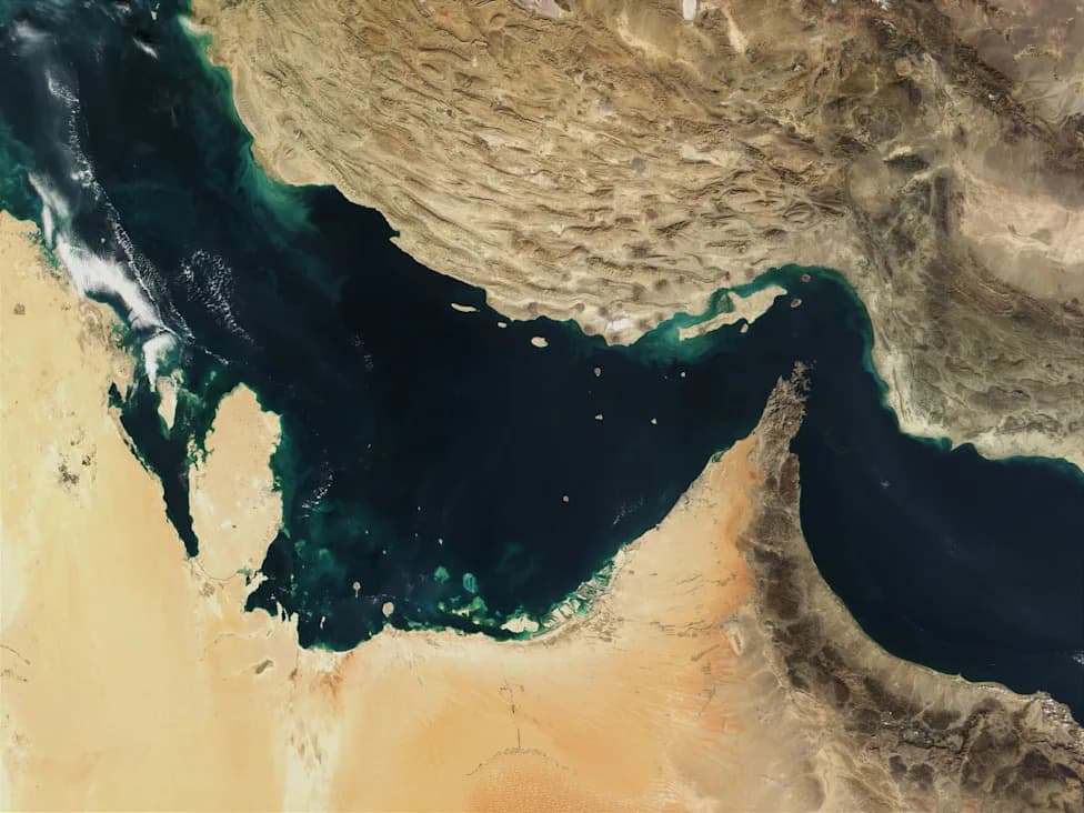
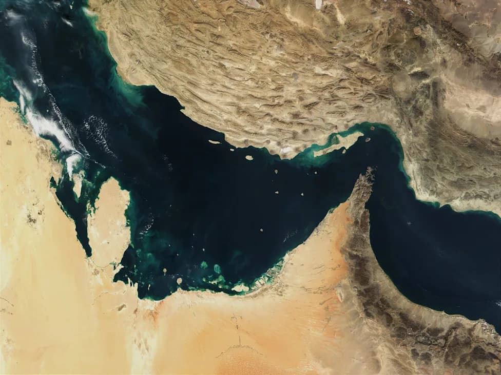
Recent satellite imagery from the European Copernicus programme appears to show brownish streaks on the surface of the sea about 20 kilometres off Iran's coast, east of the Strait of Hormuz. Images taken on Wednesday and again on Thursday show elongated, winding streaks consistent in size and shape.
Several independent analysts who reviewed the images told AFP they are "highly likely" to be oil slicks. The features lie close to coral reefs protected under the Ramsar Convention as wetlands of international importance, raising environmental concerns.
Experts' assessment and caveats
Specialists caution that satellite photos alone cannot conclusively identify hydrocarbons or determine their exact source. Vincent Kerbaol, head of satellite maritime surveillance operations at French company CLS, described the visuals as "strong indications" of "pollution probably left by ships." Leon Moreland of the UK-based Conflict and Environment Observatory said the patterns' appearance, morphology and spread — and the absence of signs of phytoplankton or algal blooms — make them "highly likely" oil slicks. US non-profit SkyTruth reached a similar assessment.
Kerbaol added that if the substance is lighter bunker fuel or other volatile fuel oil, much of it "could evaporate in three to four days," whereas heavier crude oil would persist far longer on the water surface.
Possible links to recent tanker strikes
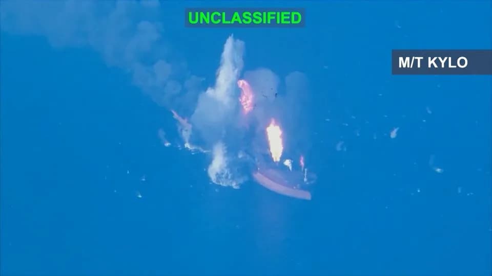
Notably, two of the detected slick tracks begin exactly where the tankers Riesco and Kylo last transmitted signals before being struck and ultimately sunk on September 8 and September 5, respectively. The US military said it had destroyed five tankers in the Gulf of Oman in response to ballistic missile attacks by Iran's Islamic Revolutionary Guard Corps against a US warship.
The 240-metre vessel Riesco reportedly sank after catching fire, according to images published by the US military on X. MarineTraffic data shows the Riesco's last available signal at 2200 GMT on Tuesday, at one end of the slick nearest the coast.
Outlook
While the satellite evidence and expert readings point strongly toward ship-sourced pollution, on-site inspection and sampling would be required to confirm the material's composition and origin. Authorities and environmental monitors may need to act quickly, particularly because lighter fuels can disperse or evaporate within days, limiting the window for definitive testing.
Help us improve.