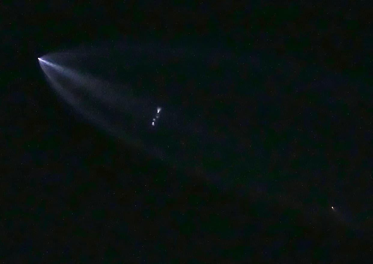
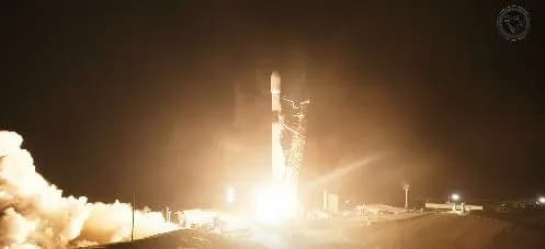
NASA and SpaceX successfully launched Sentinel-6B from Vandenberg to monitor sea-surface height and atmospheric conditions that influence hurricanes and floods. The satellite, roughly the size of a pickup truck, lifted off at 9:21 p.m. and made contact with a Canadian ground station at 10:54. Sentinel-6B replaces Sentinel-6 Michael Freilich and will deliver precise measurements of sea level, wind, waves, temperature and humidity. The mission is a partnership among NASA, ESA, EUMETSAT and NOAA, with JPL supplying key instruments.
NASA and SpaceX Launch Sentinel-6B from California to Track Oceans and Improve Hurricane, Flood Forecasts

Sentinel-6B lifts off to monitor oceans and sharpen weather forecasts
A new satellite built by an international partnership and launched by SpaceX for NASA lifted off from Vandenberg Space Force Base to monitor Earth’s oceans and atmosphere. Sentinel-6B rode a SpaceX Falcon 9 at 9:21 p.m. local time on Sunday, and mission controllers established contact with a ground station in northern Canada at 10:54, the Jet Propulsion Laboratory (JPL) reported.
About the satellite: Roughly the size of a full-size pickup truck, Sentinel-6B will measure sea-surface height with high precision from low Earth orbit, along with wind speed, wave height, and atmospheric temperature and humidity. These observations are critical for improving hurricane forecasts, refining flood predictions, and protecting coastal infrastructure, real estate and energy facilities.
Why sea-surface height matters: Sea surface height is a reliable indicator of ocean temperature—warmer water expands and causes higher sea levels locally. Mapping those differences helps researchers locate warmer ocean regions that can fuel tropical storms and intensify hurricanes. Precise height measurements also reveal how large currents, such as the Gulf Stream, interact with waves; where currents and waves converge, seas can become much rougher and pose hazards to shipping.
Continuity and instruments: Sentinel-6B succeeds Sentinel-6 Michael Freilich, which launched more than four years ago and served as the official reference satellite for global sea-level measurements. JPL, a division of Caltech in Pasadena, provided three service instruments for each Sentinel-6 satellite: the Advanced Microwave Radiometer, the Global Navigation Satellite System (GNSS) Radio Occultation instrument, and the laser retroreflector array.
International partnership: The Sentinel-6B mission is a collaboration among NASA, the European Space Agency (ESA), the European Organization for the Exploitation of Meteorological Satellites (EUMETSAT), and the U.S. National Oceanic and Atmospheric Administration (NOAA). Together the partners will maintain a continuous, long-term record of global sea level that underpins climate research and operational forecasting.
For official mission details and updates, see the Jet Propulsion Laboratory or mission partner webpages.
Help us improve.