ESA’s Sentinel-3 thermal image shows how Hurricane Melissa intensified into a Category 5 storm after striking Jamaica, producing sustained winds above 185 mph (295 kph), heavy rain and widespread flooding. The image highlights the sharp temperature contrast between the warm sea surface and cold cloud tops — a hallmark of rapid intensification. Such satellite observations are vital for improving forecasts, emergency planning and research into how warming oceans are influencing hurricane strength.
Sentinel-3 Thermal Image Reveals How Hurricane Melissa Intensified into a Devastating Category 5 Over Jamaica

Satellite image highlights the storm's power and the role of warming oceans
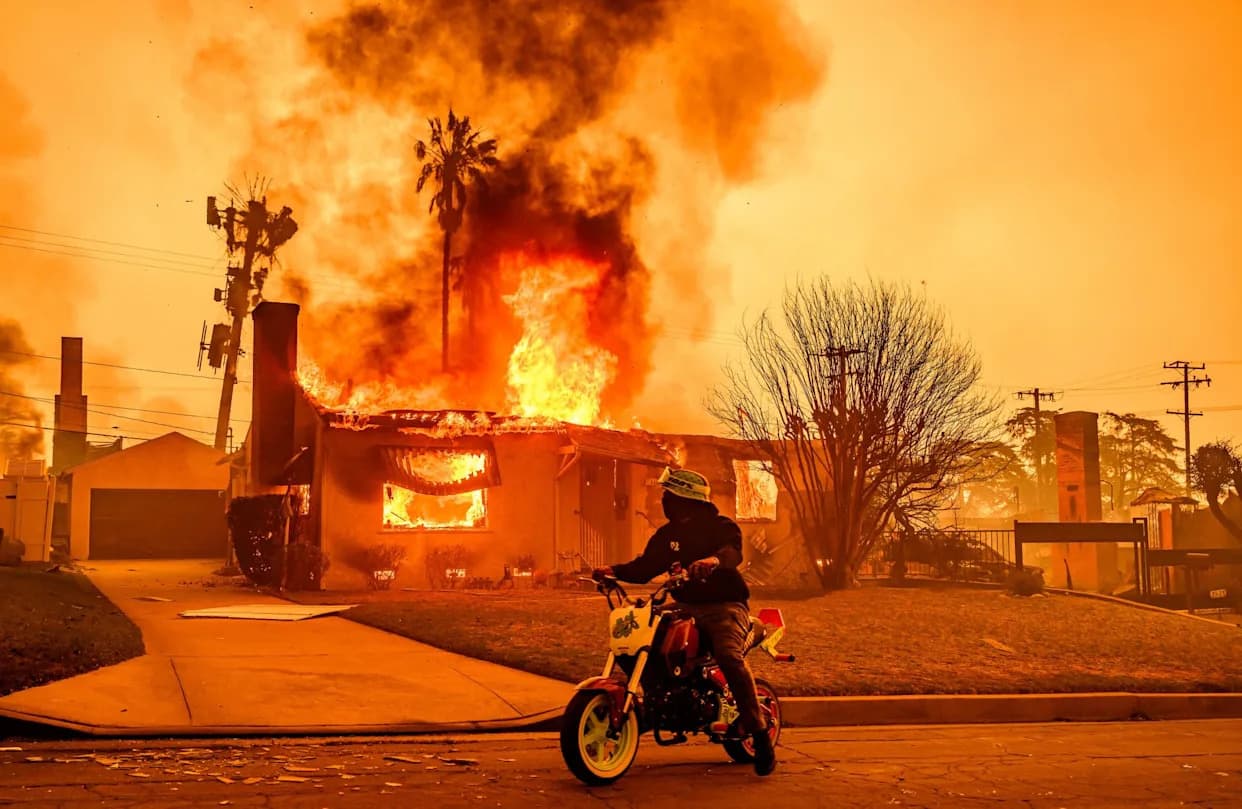
Hurricane Melissa slammed into Jamaica as a Category 5 storm, leaving a path of destruction that officials are still assessing. The cyclone brought sustained winds above 185 mph (295 kph), torrential rainfall and widespread flooding that knocked out power and isolated communities across the island.
Researchers monitoring Melissa used thermal data from the European Space Agency’s Copernicus Sentinel-3 satellite to study the storm’s structure and intensity. Sentinel-3’s thermal bands capture contrasts between warm sea-surface temperatures and the much colder cloud tops — a signature that can indicate rapid intensification.
Hurricanes draw energy from warm, humid ocean surfaces. When sea-surface temperatures are unusually high, storms can tap additional heat and moisture, enabling stronger convection and faster intensification. In Melissa’s case, the pronounced temperature gap seen in the Sentinel-3 image helps explain how the storm escalated into a major Category 5 event.
High-resolution thermal imagery from Sentinel-3 and other satellites is essential for forecasters and emergency planners. These observations improve models of storm development, support near‑real-time warnings, and inform preparedness efforts that save lives and reduce damage.
The Copernicus programme — established by the European Union and operated by the European Space Agency — uses the Sentinel satellite fleet to monitor ocean temperatures, coastal change and a wide range of Earth-system variables. Thermal imagery like this is increasingly important as scientists study how human-driven warming may be altering hurricane intensity and behaviour.
Note: Separately, a recent geomagnetic storm produced vivid auroras across North America; those events, observed by other satellite sensors, highlight the range of extreme phenomena that satellites help scientists monitor.
Why this matters: Sentinel-3’s thermal view of Melissa provides a clear, visual example of how warmer oceans can fuel more powerful storms. Better satellite data leads to better forecasting, planning and resilience as communities prepare for a changing climate.
Help us improve.