SpaceX launched Sentinel‑6B at 12:21 a.m. EST from Vandenberg, the second satellite in a joint NASA–European effort to monitor long‑term sea level change with roughly one‑inch accuracy. The 2,600‑pound, solar‑powered spacecraft was placed into an 830‑mile, 66°‑inclined orbit that covers about 90% of the world’s oceans and completes an orbit in approximately 112 minutes. NASA highlighted the mission’s practical uses for navigation, flood prediction and coastal planning, while the long‑term dataset continues to inform scientific understanding of sea level rise and climate change.
SpaceX Delivers Sentinel‑6B: A New Eye on Rising Seas

SpaceX launches Sentinel‑6B to extend decades‑long sea level record
Early Monday, SpaceX placed Sentinel‑6B into orbit, the second spacecraft in a joint NASA–European program designed to track long‑term global sea level changes — one of the clearest indicators of a warming planet.
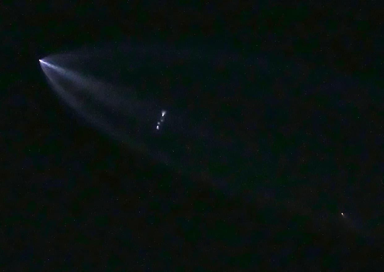
The program’s first satellite, Sentinel‑6 (named for late NASA climate scientist Michael Freilich), launched in November 2020. Sentinel‑6B lifted off from Vandenberg Space Force Base atop a Falcon 9 rocket at 12:21 a.m. EST and was successfully deployed into an 830‑mile (≈1,336 km) orbit inclined 66° to the equator.
Precision measurements: Both Sentinel‑6 satellites carry advanced, cloud‑penetrating radar altimeters that time pulses reflected from the ocean surface to measure sea level with about one‑inch (≈2.5 cm) accuracy. The instruments also record wave height and surface wind speed. The satellites orbit between 66° north and south latitude, covering roughly 90% of the world’s oceans and completing an orbit in about 112 minutes.
Operational highlights: The Falcon 9’s first stage returned to land after separation, while the upper stage performed two burns to release the roughly 2,600‑pound Sentinel‑6B into its operational plane — the same orbital track used by Sentinel‑6A and predecessor altimetry missions.
The Sentinel‑6 series builds on a continuous satellite altimetry record that began in the early 1990s. That uninterrupted dataset shows a steady rise in global mean sea level, a trend widely interpreted by climate scientists as driven largely by human‑caused warming.
“Sentinel‑6B is the latest in a line of missions stretching over three decades, keeping an uninterrupted watch over our planet’s sea surface height, finding patterns and advancing our understanding of planet Earth,” said Karen St. Germain, director of NASA’s Earth Science Division.
In a pre‑launch briefing, NASA emphasized the mission’s practical benefits — underpinning navigation, search‑and‑rescue, commercial fishing and shipping — and its role in improving flood prediction, coastal planning and the protection of shoreline infrastructure. Earlier mission materials for Sentinel‑6A explicitly tied the project to understanding how climate change reshapes coastlines; Sentinel‑6B briefings used more neutral language, reflecting guidance at the time to emphasize operational uses.
Beyond sea level, Sentinel‑6B carries instruments to monitor lower‑atmosphere temperature and humidity and to probe the stratosphere by measuring atmospheric effects on navigation‑satellite signals. These additional data help improve weather forecasting and climate models.
The program is a collaboration among NASA, the European Space Agency (ESA), EUMETSAT (the European Organization for the Exploitation of Meteorological Satellites) and NOAA. NASA’s reported share of the cost for the two Sentinel‑6 satellites is roughly $500 million, with European partners contributing a comparable amount.
Why it matters: Sea level rise affects coastal communities, infrastructure, shipping and ecosystems. High‑precision, continuous satellite records like Sentinel‑6 enable scientists and planners to detect trends, predict coastal impacts and guide adaptation and resilience efforts worldwide.
Help us improve.